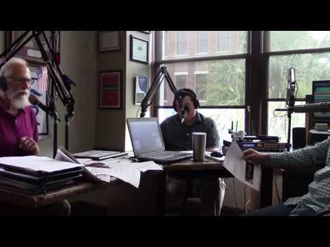
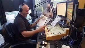
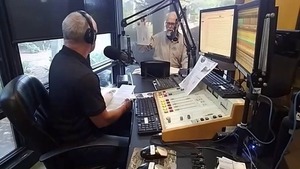
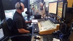
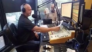
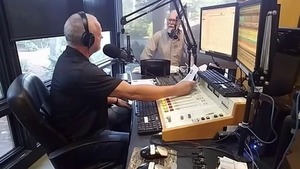
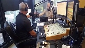
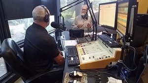
Come hear good music this afternoon, new songs about the Suwannee,
Withlacoochee, and other rivers, said
Suwannee Riverkeeper John S. Quarterman
on the radio yesterday morning with
Scott James.
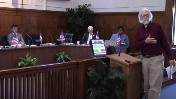
The M.C. for today’s finals of the
Suwannee Riverkeeper Songwriting Contest,
WWALS E.D. Gretchen Quarterman, explained the raffles (kayak, swag,
and silent auction), and we mentioned
the buffet and cash bar at the
at the Salty Snapper, 1405 Gornto Rd, Valdosta, GA 31602.
We listed the finalists in the
Suwannee Riverkeeper Songwriting Contest,
and described the format: speeches (especially by Will Eason of the Salty Snapper), finalists play new songs about the rivers, judges score on music, lyrics, history, etc., and finally
the results of the raffles, and the prizes.
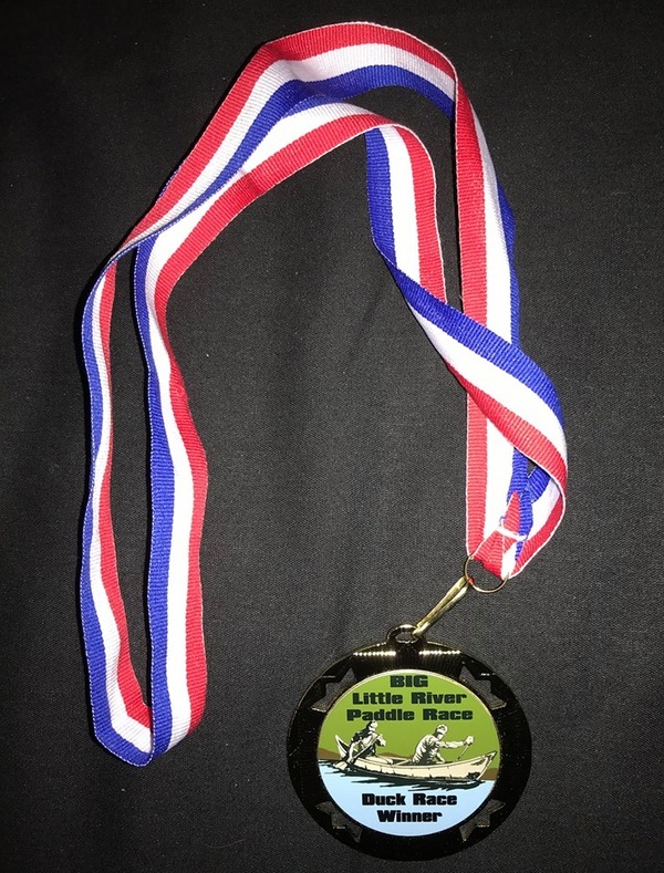
We showed off the First Prize plaque, just handed to us by WWALS
Board Member Phil Hubbard, who made it.
Videos: Songwriting Contest on Scott James Radio 2018-06-22
Video by Gretchen Quarterman for WWALS Watershed Coalition (WWALS),
Once festival season is over today, we noted we’ll get on with the programs WWALS fundraising pays for.
Such as
water quality testing: Continue reading →
Experience the wilderness via the
Alapaha River Water Trail
as we continue the
Alapaha Quest.
Due to river level variations, the location will be determined as we get closer to the date.
Could be anything from rapids to flood to a dry river hike, depending on rainfall.
When:
8 AM, Saturday, August 11, 2018
Put In:
To Be Announced (TBA)
Take Out:
TBA
Bring: the usual personal flotation device, boat paddles, food, drinking water, warm clothes, and first aid kit.
Also trash pickers and trash bags: every WWALS outing is also a cleanup.
Free: This outing is free to WWALS members, and $10 (ten dollars) for non-members.
We recommend you support the work of WWALS by
becoming a WWALS member today!
Bring: the usual personal flotation device, boat paddles, food, drinking water, warm clothes, and first aid kit.
Also trash pickers and trash bags: every WWALS outing is also a cleanup.
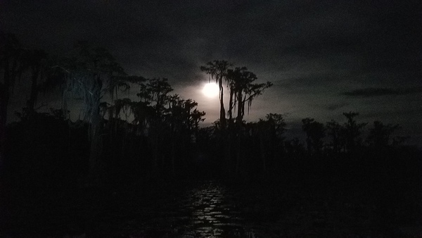
And for this moonlight paddle: a light.
Free: This outing is free to WWALS members, and $10 (ten dollars) for non-members.
We recommend you support the work of WWALS by
becoming a WWALS member today!
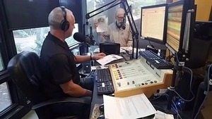
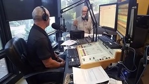
This morning I was on
The Morning Drive with Steve Nichols on 105.9 FM WVGA, Valdosta, Georgia,
which Steve says reaches 100,000 people.
We talked about
all the things we said we would: Troupville cleanup, water trails, paddle race, film festival,
songwriting contest, outings, and more.
Here’s
the video extracted from WVGA’s facebook live.
Suwannee Riverkeeper on Steve Nichols Drive-time Radio 2018-04-24
Video by Black Crow Media for WVGA 105.9 FM, Valdosta, GA
I don’t know why the video is mirror-flipped, but below are a few stills right-way around.
If you want to see the whole morning’s video, it’s
on the show’s website.
This interview runs about -23:40 to -1:20.
WWALS Outings Committee Chair Phil Hubbard made these metal signs
and planted them yesterday at
Troupville Boat Ramp on the Little River.
Meet at these signs for the cleanup this morning,
led by WWALS member Bobby McKenzie.
You’ve already seen the videos of the two resolutions, for the
Withlacoochee and Little River Water Trail (WLRWT)
and the
Alapaha River Water Trail (ARWT).
Here are videos of three WWALS members thanking Valdosta Mayor and Council
for those, plus three festivals.
We call WWALS a coalition because many people
are involved, from many backgrounds, doing many different things
to conserve and advocate for our watersheds being swimmable, fishable,
and at least our well water drinkable.
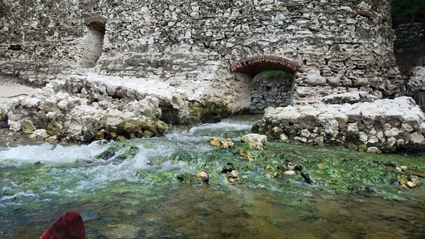
Very experienced retired outfitter Burt Kornegay from western north Carolina paddled
the Little River from just below its one dam to the Withlacoochee and
on to the Suwannee a week ago, and liked it a lot.
If you want a really good four-day canoe trip,
put in right near Reed Bingham State Park at the
highway 37 bridge.
There’s an excellent put in right there.
And spend four days canoeing down this river.
I don’t think you’ll regret it.
That’s from somebody who has led expeditions all over the U.S.,
from the Grand Canyon to the Smokey Mountains,
interviewed
Saturday a week ago at
Troupville Boat Ramp.
Bring: camping gear in addition to the usual personal flotation device, boat paddles, food, drinking water, warm clothes, and first aid kit.
Also trash pickers and trash bags: every WWALS outing is also a cleanup.
Free: This outing is free to WWALS members,
and $10 a day ($20) to non-members,
plus campsite fees and park entry fees.
All attendees must pre-pay a $10 shuttle fee.
You can register here:
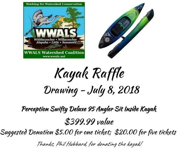
WWALS is raffling off a
Perception Swifty Deluxe 95 Angler Sit Inside Kayak.
You can donate for a raffle ticket online here,
or you can get paper tickets at numerous festivals
throughout the spring, starting today Continue reading →


![[Phil Hubbard interviews Burt Kornegay]](https://www.wwals.net/pictures/2018-03-24--burt-kornegay/sddefault.jpg)
![[A happy paddler]](https://www.wwals.net/pictures/2018-03-24--burt-kornegay/20180324_141501.jpg)