
Here’s a
map of all rivers in the U.S. by Nelson Minar.
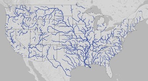 It actually covers the lower 48 states and is pretty impressive at that scale.
Plus you can zoom in.
It actually covers the lower 48 states and is pretty impressive at that scale.
Plus you can zoom in.
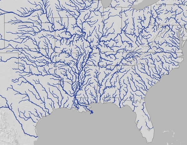
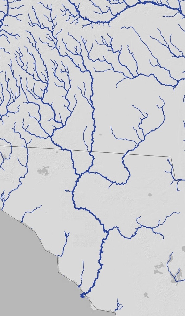
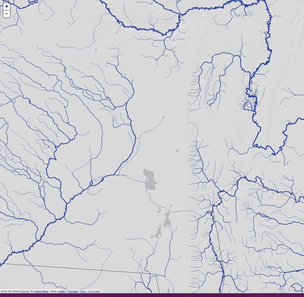
Gulf and south Atlantic
Here you can see rivers running to the Gulf start all the way up in Pennsylvania.
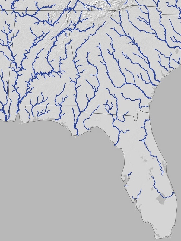
Georgia, Florida, Alabama
Many rivers start in Georgia. Some go directly to the Atlantic, and many others go through Alabama or Florida to the Gulf of Mexico.
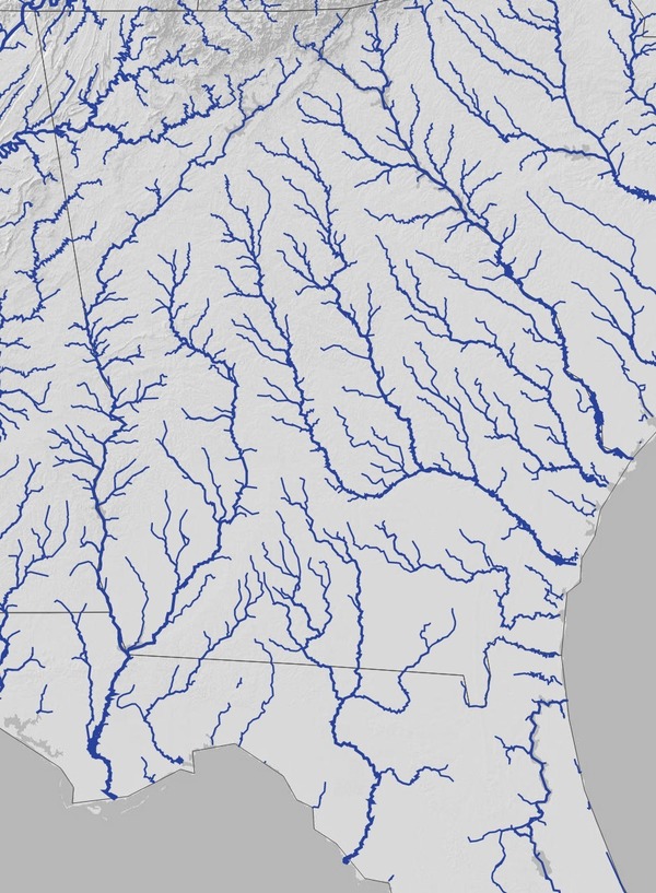
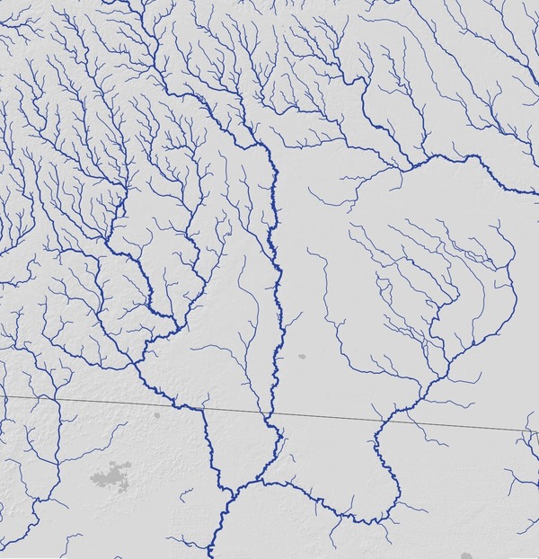
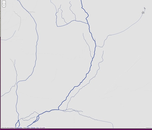
Georgia and north Florida
Now you can see the familiar lines of all the major WWALS rivers.
Suwannee Basin
At Suwannee Basin scale the major creeks also start to appear.
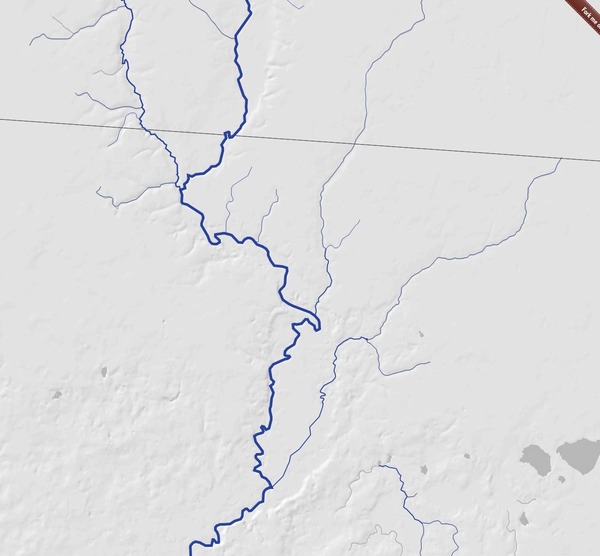
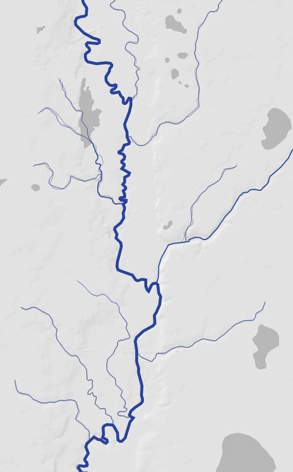
Upper Suwannee Basin
Now we can see Suwanoochee Creek, Mud Creek and Grand Bay Creek, Cat Creek, and many others.
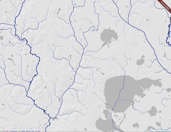
Alapaha River near Jennings
Oddly the Dead River doesn’t show up, although you can see where it is by the dent on the underlying terrain map.
Banks Lake, Cat Creek, Rays Mill Pond
You can see Ray’s Mill Pond on Beaverdam Creek running into Cat Creek and then the Withlacoochee River. The big lakes in the lower right are Banks Lake and Grand Bay, both on Grand Bay Creek, which goes through the Alapahoochee River to the Alapaha River.
Okefenokee Swamp
There’s a very pronounced north-south divide in the middle of the swamp, with the Suwannee flowing to the west, the Satilla to the northeast, and the St Mary’s to the east.
Suwannee River at Fargo, GA
Not a lot of detail around Fargo, maybe because it’s so swampy around there.
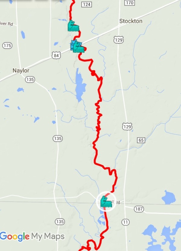
Alapaha River at Hotchkiss Road, Naylor, Mayday
Here’s the area of the April 2016 WWALS Alapaha River Outing. Hotchkiss Road is near the top. US 84 is just north of Lake Alapaha, which you can see west of the Alapaha near the top. Mayday is near the last creek from the east. It’s hard to tell what’s what without man-made features such as roads, railroads, and towns.
ARWT map: Alapaha River at Hotchkiss Road, Naylor, Mayday
The WWALS Alapaha River Water Trail google map shows about as much detail on streams, plus many background features, and foreground features such as boat ramps and launches.
So if you want large scale context, this other map is pretty useful. For detail, there are other methods, including the WWALS Water Trail maps. See also EPA MyWaters Mapper.
-jsq
You can join this fun and work by becoming a WWALS member today!
Short Link: