HR 158 may be scheduled for a vote in the Georgia House as soon as tomorrow. Help dedicate state fees to their intended purposes: please contact your Georgia House Representative or Georgia State Senator (follow the links for contact information) and ask them to pass HR 158. If you don’t know who your Georgia Representative or Senator are, see Georgia My Voter Page.
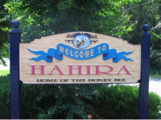
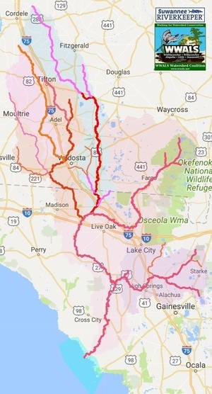
Hahira is the most recent of six local governments representing the majority of the population in the Suwannee River Basin in Georgia, in five Georgia House districts and two Senate districts, that have passed a resolution supporting Georgia HR 158 against state fee diversions, with five stories and an editorial in the biggest circulation newspaper in the Basin. More local resolutions passed elsewhere in the state, but that ain’t bad for the Suwannee River Basin.

- 2018-01-08 Lanier County, House District 176 (Jason Shaw), Senate District 8 (Ellis Black) Continue reading