Naylor Boat Ramp Out and Back, Alapaha River 2020-06-13

Update 2020-06-19: Pictures.

Update 2020-06-18: Naylor Boat Ramp signs planted 2020-06-13.

Update 2020-06-12: Good to go, so see you there.

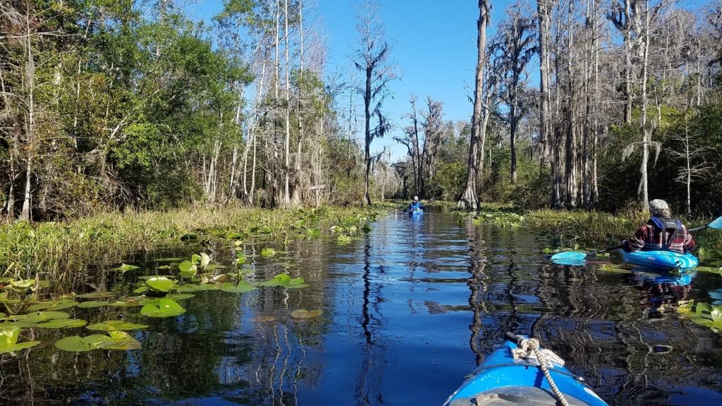
Join us for a one-mile paddle upstream and back from the newest boat ramp on the Alapaha River.

There’s plenty of room to stay six feet apart on the ground and ten feet apart on the water.

When: Gather 9:30 AM, launch 10 AM, Saturday, June 13, 2020

Put In: Naylor Boat Ramp, 6955 US 84 E, Naylor, GA 31641, in Lowndes County, Georgia.
From Valdosta go east on US 84, cross the river, make a U-turn when you can, go back west across the river and turn right into the park around the boat ramp. There’s also a nice beach in the park a bit downstream from the boat ramp.

GPS: 30.92507, -83.03867

Take Out: Naylor Boat Ramp

Bring: the usual personal flotation device, boat paddles, food, drinking water, warm clothes, and first aid kit. Also trash pickers and trash bags: every WWALS outing is also a cleanup.

Free: This outing is free to WWALS members, and $10 (ten dollars) for non-members. We recommend you support the work of WWALS by becoming a WWALS member today!

Event: facebook, meetup

[Naylor Boat Ramp, 2020:03:06 16:35:28, 30.9253889, -83.0393611]
Photo: Tasha Ekman Laface, Naylor Boat Ramp, 2020:03:06 16:35:28, 30.9253889, -83.0393611

Continue reading

Last day to comment to the Corps against strip mine near Okefenokee Swamp 2020-05-28

Today is the last public comment day to ask the Corps to stop a strip mine so close to the Okefenokee Swamp you can see both from a few hundred feet up.

[Distant 2019-11-23]
Drone aerials of titanium mine site near Okefenokee Swamp 2019-11-23.

As the U.S. Fish and Wildlife Service told Georgia Sen. Purdue last November,

“The initial project location is the farthest that mining activity would be from the Okefenokee National Wildlife Refuge (NWR) boundary and the Okefenokee Swamp. Any additional mining that occurs within the 12,000-acre permit area would be closer to the refuge. The northwest boundary of the permit area is within a half mile from the refuge boundary and 400 feet from the edge of the Okefenokee Swamp.”

FWS also spelled out the bottom line: “It is the responsibility of the permit applicant to demonstrate what the extent of impacts of the project will be to surrounding natural resources.”

And the applicant still has not done that, not even in its second application.

A few miners profiting by selling titanium dioxide for paint is nowhere near sufficient reason to risk the unique treasure that is the Okefenokee Swamp, which is also the headwaters of both the Suwannee and St. Marys Rivers.

Please comment to the Corps

Today you can still ask the U.S. Army Corps of Engineers to stop this strip mine:
To: CESAS-SpecialProjects@usace.army.mil
Re: Applicant: Twin Pines Minerals, LLC, Application Number: SAS-2018-00554

Be sure to ask the Corps to deny the permit, or at least to require an Environmental Impact Statement.

Or use the convenient comment form in this Action Alert by Waterkeeper Alliance:
https://waterkeeper.org/news/take-action-protect-okefenokee-swamp-from-a-titanium-mine/

Or this convenient comment form by Georgia River Network:
https://www.congressweb.com/GEAN/225

For far more information about this bad strip-mining proposal, see:
https://wwals.net/issues/titanium-mining/

 -jsq, John S. Quarterman, Suwannee RIVERKEEPER®

You can join this fun and work by becoming a WWALS member today!

Winner: Butterfly, bridge, pointy, flower, what river? Within These WWALS #5 2020-05-09

The winner of Within These WWALS #5 is…

Sara Jones.

She gets a packet of Withlacoochee and Little River picture notecards from the WWALS photo notecards, sent via postal mail from WWALS charter board member Bret Wagenhorst.

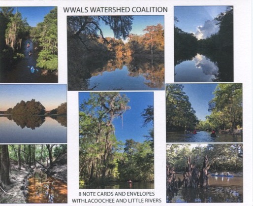
WWALS Withlacoochee and Little River picture notecards

Lots people who were on #PaddleGA2019 knew Spook Bridge, but apparently the plant spooked them. Continue reading

Withlacoochee River still clean 2020-05-25

Update 2020-06-02: Clean Little and Withlacoochee Rivers 2020-05-31.

Still more good water quality results from Madison Health and Valdosta for last Thursday and Friday, and from WWALS tester Suzy Hall Saturday and Monday, so all the Withlacoochee River “beaches” on Swim Guide remain green for “Meets water quality standards”.

Because there still hasn’t been hardly any rain, nothing much has washed into our waterways. Yes, now we’re really taking down our WWALS yellow diamond Caution signs.

WWALS will continue testing and consolidating results. You can help.

[Nankin Boat Ramp in Swim Guide]
Nankin Boat Ramp in Swim Guide

Suzy Hall for WWALS got 200 cfu/100 mL E. coli for Knights Ferry Boat Ramp on Saturday, May 23, 2020. While that’s higher than the long-term average limit of 126, it’s well lower than the one-time limit of 410.

Monday at Nankin, she got Continue reading

Banks Lake Full Strawberry Moon Paddle, 2020-06-07

Update 2020-06-06: Gator and bats, sunset, no moon, at Banks Lake 2020-06-05.

Leisurely sunset paddle and watch the June Full Strawberry Moon rise over the lake.

No, there’s no curfew in Lanier County now (confirmed with the Lanier County Sheriff), and since there’s no shuttle on this outing, we can all stay 6 feet apart on land 10 feet apart on the water.

Banks Lake National Wildlife Refuge is in the Grand Bay–Banks Lake ecosystem. We usually see birds, bats and alligators. Sunsets are usually spectacular, and the full moon over the tree tops reflected in the lake is a sight to see.

When: Gather 7:30 PM, launch 7:50 PM, Friday, June 5, 2020

Moon and sun: Sunset 8:33 PM, Moonrise 8:41 PM

Put In: Banks Lake Boat Ramp, 307 Georgia 122, Lakeland, GA 31635, in Lanier County.

GPS: 31.035097, -83.097045

Take Out: Banks Lake Boat Ramp

Bring: the usual personal flotation device, boat paddles, food, drinking water, warm clothes, and first aid kit. Also trash pickers and trash bags: every WWALS outing is also a cleanup.

Boats: Kayaks are available to borrow but please let us know at least 2 days prior to the event. Bring your own if you have it.

Free: This outing is free to WWALS members, and $10 (ten dollars) for non-members, optional during this virus pandemic period. We recommend you support the work of WWALS by becoming a WWALS member today!

Event: facebook, meetup

[Sunset behind cypress]
Sunset behind cypress on Banks Lake Full Storm Moon Paddle 2020-02-09.

Continue reading

Pictures: Stone Bridge paddle from Cook County Boat Ramp (GA 76) 2020-05-16

About thirty paddlers made it upstream to Stone Bridge and back, although few people could paddle up the current under it.

[Helen Chaney: Suwannee Riverkeeper under Stone Bridge]
Photo: Helen Chaney, Suwannee Riverkeeper under Stone Bridge

Starting out at Cook County Boat Ramp, there was plenty of room for everybody to stay six feet apart on land and ten feet apart on water. Continue reading

Winner: Within These Walls Contest 4 2020-05-02

The winner of Within These WWALS number 4 is: Deanna Mericle.

She gets a packet of WWALS picture notecards from the WWALS online store.

The underwater plant is:

Eel grass, Zostera marina.

[1 Plant]
1 Plant

Nope, not wild rice, Zizania aquatica, which usually sticks up above water.

Florida State Parks does say both occur in the subject stream.

The bird is: Continue reading

Strip mine would endanger swamp 2020-05-22

In the Valdosta Daily Times today:

Signs at Exits 18 and 16 from I-75 say “Okefenokee Swamp, Stephen C. Foster State Park, 62 miles,” in hopes travellers will stay in Valdosta first.

[Okefenokee Swamp sign at I-75 exit 16.]
Okefenokee Swamp sign at I-75 exit 16.

The Swamp is the headwaters of the Suwannee River, a favorite paddling, birding, and fishing location of many people from here. The smoke from the 2017 West Mims Okefenokee fire reached Valdosta. Charlton County thanked Lowndes County for sending assistance.

Unfortunately, in the aftermath of that fire, some miners from Alabama bought up land southeast of the Swamp. Twin Pines Minerals, LLC, of Birmingham, AL, applied to the Army Corps of Engineers for a permit to strip mine titanium less than three miles from the Swamp.

After more than 20,000 public comments, the miners Continue reading

Good Withlacoochee River water quality 2020-05-20

Update 2020-05-27: Withlacoochee River still clean 2020-05-25.

Water quality test results through Wednesday are good, and rain has only been drizzles except way upstream. That’s probably not enough to wash any new E. coli into the rivers. So I’ve set the Swim Guide Withlacoochee River “beaches” to green for “Meets water quality standards”. This is all advisory, of course: conditions can change rapidly. But there’s no big rain in the forecast.

WWALS will be testing this weekend. You can help.

[Swim Guide]
Swim Guide

Since our last report, we’ve gotten data from Valdosta through Wednesday, May 20, and from Madison Health for Tuesday. That all confirms the WWALS results over the weekend. Continue reading

Any additional mining would be closer to the refuge. –FWS to Sen. Perdue 2019-11-21

“The initial project location is the farthest that mining activity would be from the Okefenokee National Wildlife Refuge (NWR) boundary and the Okefenokee Swamp. Any additional mining that occurs within the 12,000-acre permit area would be closer to the refuge. The northwest boundary of the permit area is within a half mile from the refuge boundary and 400 feet from the edge of the Okefenokee Swamp,” wrote the Fish and Wildlife Service to Senator David Purdue.

You can still comment to the Army Corps demanding an Environmental Impact Statement.

Minnie Lake, Shirley Kokidko, Gretchen Quarterman, 11:42:54,, Minnie Lake
Photo: John S. Quarterman, Okefenokee Swamp, 2017-12-10

The U.S. Fish and Wildlife Service (FWS) wrote that in response to an inquiry by Senator David Perdue of Georgia. Sen. Perdue also asked if FWS actually had jurisdiction over the proposed mining area, and FWS replied saying that it did have several kinds of oversight.

But FWS spelled out the bottom line: “It is the responsibility of the permit applicant to demonstrate what the extent of impacts of the project will be to surrounding natural resources.”

And the applicant still has not done that, not even in its second application.

No longer discussing the northern reaches of its landholdings much doesn’t mean Continue reading