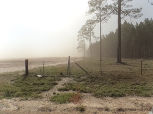
Update 2017-01-25: And also a spill at the WWTP.
Nobody likes sewer spills, but no, these are not the same as before Valdosta’s
recent wastewater system improvements:

nothing this time came from the Withlacoochee Wastewater Treatment Plant,
and the amounts were small compared to previous years (10-62%)
and in far fewer locations.
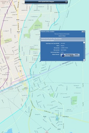
That didn’t stop WTXL from using this title: Amber Lewis, WTXL, 24 January 2017, Major Sewage Spill Reported in Valdosta,
The City of Valdosta has reported that a large amount of untreated sewage has spilled in the area.
The Florida Department of Health reports that Continue reading