Tag Archives: creeks

Horrendous water quality at GA 133 & US 84 Wednesday, clean downstream 2020-11-12

Update 2020-11-16: Better now, Withlacoochee River water quality 2020-11-14.

We’ve never seen anything quite like this.

Valdosta got 137,600 cfu/100 mL E. coli for Wednesday at GA 133 on the Withlacoochee River. That’s 137 times the Georgia Adopt-A-Stream alert limit of 1,000.

That’s far higher than the highest E. coli reading we’ve ever seen for the Withlacoochee River, which was the 39,000 Valdosta got on December 10, 2019, just after its infamous record spill. Which at least makes it unlikely that this contamination is coming from Valdosta.

Even the 85,600 Valdosta got for US 84 Wednesday is higher than that previous record at GA 133, and far above unprecedented for US 84. The previous US 84 record was 1,505 on April 1, after a big rain.

GA 133 is the same place Valdosta keeps finding very high E. coli and Fecal coliform, including 11,600 E. coli Friday a week ago. There has not been any rain. Which makes it very unlikely that this is runoff from farm animals.

[Horrendous upstream, clean downstream]
Horrendous upstream, clean downstream
Photos: Michael and Jacob Bachrach at Knights Ferry, Nankin, and State Line Boat Ramps, Thursday, November 12, 2020.

Yet Valdosta’s Wednesday downstream water quality results were all good, as were those by WWALS and Madison Health for Thursday.

According to the latest water quality results downstream of US 84, things look great for the Withlacoochee River this weekend. But I have to tell you I wouldn’t get in that water without more sampling.

I wish I could tell you what caused this, but so far I can only say a few things it’s not, and then speculate. Continue reading

Trailmarker Tree Trails 2020-11-04

Second of a series of posts from Dr. Ken Sulak, USGS, retired. He is aware that Indian Trailmarker Trees are still speculative. Maybe with enough examples we can all determine whether they are what they seem to be. Please send pictures and locations of any trailmarker trees you may have seen, especially along old trails that crossed the Alapaha, Withlacoochee, Little, Suwannee, or Santa Fe Rivers, such as Old Coffee Road or various versions of El Camino Real.

[Old Trails]
Old Trails

Thanks for your reply. The trailmarker tree thing is an offshoot of my research on historic settler fords, ferries and bridges. Certainly early settlers traded with Seminoles and followed their trails. This Motte map is one of the few I have encountered that shows trails from GA coming into FL. There has also been more published on the ‘Alachua Trail’ figured in the next map. But that is of less interest to me because folks using that trail were primarily headed to the St. Johns River area—a distinct migration thing from the GA and SC folks headed for ‘Middle Florida’ where the best farm land and ample water was available.

I have been trying to confine my studies and field explorations to that area—but have inevitably gotten involved with what was happening in S GA. I have made several foot and solo kayak trips to the GA/FL border, and up into GA a bit now.

Many coming south from GA crossed into Spanish FL at Warners (Beauforts, Hornes) Ferry over the Withlacoochee, then headed south to Deadman’s Bay (Steinhatchee) to boil down salt water to make several barrels full of salt to take back to GA in wagons. This is one of the several ‘Old Salt Trails’ that later immigrant settlers used. All six of the so-far discovered trailmarker trees fall right on one of the dotted trails in this map

[1838 Motte Seminole War trail map]
Motte’s 1838 Seminole War map showing trails with dotted lines.

Warners Ferry or Horn’s Ferry was near where the current Horn Bridge is over the Withlacoochee River just upstream of State Line Boat Ramp and the GA-FL line.

I asked Ken a few questions, including: Continue reading

Twin Pines Minerals permit applications to GA-EPD

Here are four of the five active permit applications to GA-EPD from Twin Pines Minerals related to the proposed titanium mine far too close to the Okefenokee Swamp, which is the headwaters of the Suwannee and St. Marys Rivers, and interchanges water with the Floridan Aquifer, from which we all drink. Apparently there is also an air quality permit application. Since the Army Corps has abdicated oversight of this mine, you can ask the Georgia government to reject these permits.

[Page 2]
Page 2
Figure 75: Proposed Project Aquatic Feature Impact Areas Map –Twin Pines Minerals

Here is the relevant passage from GA-EPD’s responses to my open records request. I have interleaved links to where the files for each application are on the WWALS google drive.

Here is a summary of the permit applications in the GA EPD Watershed Protection Branch: Continue reading

Searching for Trailmarker Trees 2020-11-02

Here’s the first of a series of posts from Dr. Ken Sulak, USGS, retired, whom you may remember we’ve quoted before about sturgeon jumping in the Suwannee River. He’s got several new pursuits that entwine with Suwannee River Basin rivers, and he’s asking for your assistance. He is aware that Indian Trailmarker Trees are still speculative. Maybe with enough examples we can all determine whether they are what they seem to be.

WWALS riverrats –

While exploring old bridge and ferry sites along the Suwannee River and its tributaries, I have encountered five unmistakable Indian Trailmarker Trees (and Brack Barker has shown me a sixth). I won’t say I discovered these, because some human first shaped each, and thousands of Indians and early settlers used these manmade landmarks to navigate through South Georgia and Florida’s 27 million acres of seemingly endless and trackless primordial Longleaf Pine Forest. Sure, there were Indian trails that the settlers also followed, like the Alachua Trail and the Old Salt Road (plural). But that was not necessarily easy. No welcome to Florida signs back then, no road signs, no road maps, no GPS — although the sun and stars provided compass directions.

[Trailmarker Trees, How To, and old map]
Trailmarker Trees, How To, and old map

The noted naturalist Herbert Stoddard came to Florida with his family as a small boy in 1893. Florida became a US Territory in 1822, with settlers arriving in droves thereafter. But even as late as 1893, there were few real roads to follow. Stoddard recalls: “Came a long ride in a horse-drawn wagon over bumpy, one-track roads through the longleaf woods … They were crooked as snakes, for every time a pine tree fell across the road, Continue reading

Tifton spilled 2,000 gallons raw sewage 2020-11-03

Update 2020-11-06: Odd water quality upstream, Withlacoochee River 2020-11-04

Any amount is too much, but that 2,000 gallons Tuesday was probably not enough to affect Reed Bingham State Park Lake much, nor anything downstream from it. However, we don’t know, because nobody was testing on Willow Creek or the Little River above RBSP. Any spill is too much raw sewage into waterways.

[Golden Road Lift Station, Spill, RBSP, Little, Withlacoochee, Suwannee Rivers]
Golden Road Lift Station, Spill, RBSP, Little, Withlacoochee, Suwannee Rivers

Unlike some other cities recently, Tifton did timely report this spill, which appeared in GA-EPD’s Sewage Spills Report the day after it happened.

And this time was less than the 250,000 gallons on September 11, 2017 from the same Golden Road Lift Station. Continue reading

Videos: vote for clean water 2020-11-03

From four locations on the Withlacoochee River, Suwannee Riverkeeper John S. Quarterman and WWALS Science Committee Chair Dr. Tom Potter urge you to go vote today for clean water.

[US 41, NSRR, US 84, Knights Ferry, Withlacoochee River]
US 41, NSRR, US 84, Knights Ferry, Withlacoochee River

At US 41 (North Valdosta Road), at the Norfolk Southern Railroad bridge just downstream from the notorious Sugar Creek, at US 84, downstream from GA 133 where Valdosta often sees high E. coli, and at Knights Ferry Boat Ramp, downstream of Okapilco Creek with all those Brooks County dairy cows, we sampled for bacteria and DNA Friday.

Vote for people who will fully fund the Florida Department of Environmental Protection (FDEP) and the Georgia Environmental Protection Division (GA-EPD) so they can do some river sampling themselves, and watch over not only Valdosta, but also Quitman, Adel, Tifton, Rochelle, and Ashburn, all of which have spilled sewage into the Suwannee River Basin this year. Maybe then FDEP will be able to do its job, instead of trying to take more tasks from the Army Corps.

Vote for people who will protect the Okefenokee Swamp from strip mining and other threats.

Pick your most important water issue: https://wwals.net/blog/issues/. They could all use elected officials who will support clean water.

We’ve never met anyone who wants to drink dirty water. So please vote for clean water! Continue reading

Bad Knights Ferry water quality, Withlacoochee River 2020-10-30

Before last weekend all the water quality results from Valdosta for Wednesday and Madison Health for Thursday seemed good. But then it rained late Thursday. I tested Friday, and while US 41, just below Sugar Creek, and US 84 were good on the Withlacoochee River, Knights Ferry Boat Ramp was not good at all.

That contamination must have washed downstream. It may have already passed State Line by Monday, and it may never show up in Valdosta or Madison Health results. We shall see what their results for this week say.

But it was there at Knights Ferry Boat Ramp Friday. This is a good illustration of why even more frequent testing is needed.

Oh, and vote for clean water.

[US 41, NSRR, US 84, KF]
US 41, NSRR, US 84, KF

At Knights Ferry, I counted 39 + 38 + 39 = 116 * 100 / 3 = 3,866 cfu/100 mL E. coli. I went with Gretchen’s slightly lower counts of 40 + 25 + 39 = 104 * 100 / 3 = 3,466, because there was some doubt whether some E. coli colonies were separate or not. Sara Jay got an even lower 2,633. Whichever, it’s clear they’re all well above the 1,000 Georgia Adopt-A-Stream alert limit. So we’re using the 2,633 3,466 middle number, which is plenty bad. Continue reading

What stinks worse than a titanium mine too near the Okefenokee Swamp? Biomass plants in north Georgia

Should we assume a titanium mine started by the same people would be any better than the stinking biomass plants they started? You can ask the Georgia government to stop the mine that would be far too close to the Okefenokee Swamp. And don’t forget to vote for people who support clean air and water!

The “clean” wood-burning biomass plants in north Georgia stink so bad a chicken CAFO operator says he can smell it. So bad people working at the plant get sick with masks on. So bad local people say they were betrayed and a local government is suing. So bad it’s caused a fish kill in a nearby creek. So bad investors are suing. So bad it’s behind in its taxes.

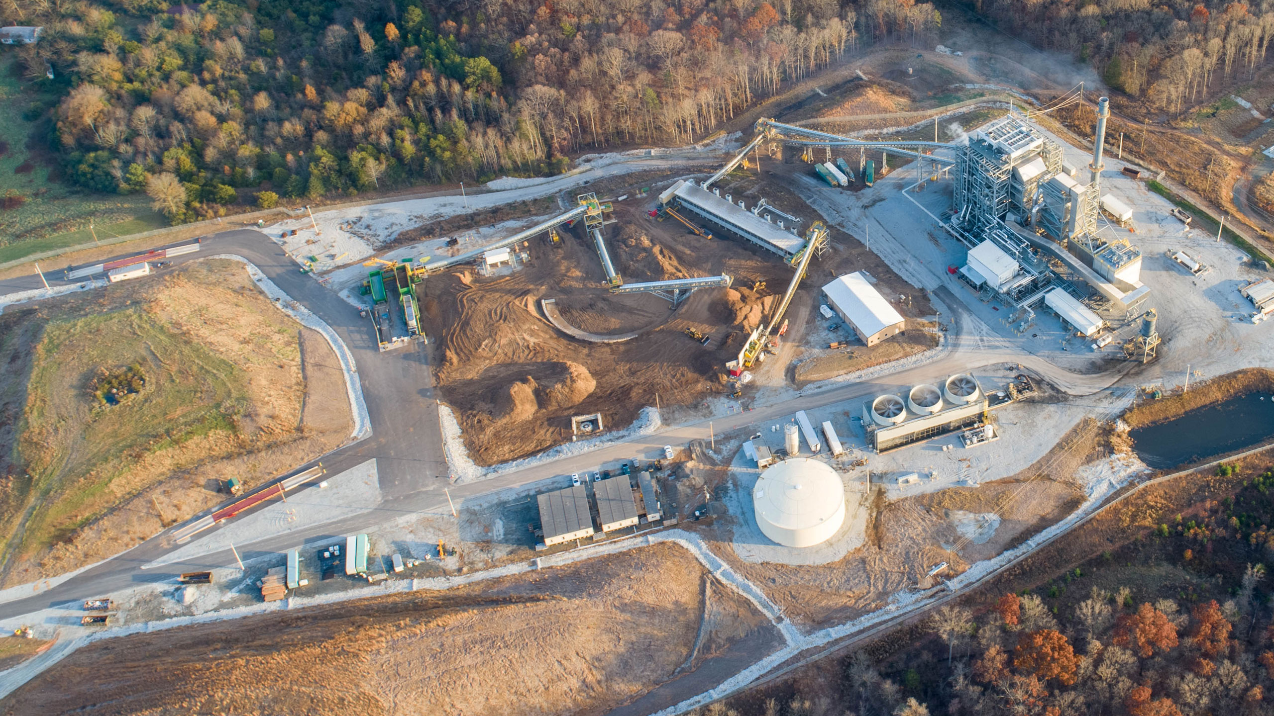
Photo: Franklin Locality, Problem: GRP Pollution

So bad local people say no amount of jobs is worth it. One asks, “did you have anybody investigate the two companies that run that plant; had they ever had EPD/EPA violations, had they ever been sued or had formal complaints brought against them”? Well, many people investigated Twin Pines Minerals, LLC, and found TPM is under a Florida Consent Order for multiple violations just across the GA-FL line.

Yet the Charlton County, Georgia, Board of Commissioners passed a resolution in favor of that titanium mine. Maybe they should review that decision in light of this track record of another project by the same people.

Maybe GA-EPD should take all this into account while considering TPM’s five permit applications. And then reject those applications.

You can help by asking them to do so.

And don’t forget to vote for people who will protect our waters and people.

Lee Shearer, Athens Banner-Herald, 12 September 2015, Alabama company plans wood-burning electricity plants near Athens,

The EPD’s Air Quality Branch earlier this summer approved one of the two pollution permit applications filed by GreenFuels Holding Company of Birmingham for a 79 megawatt plant near the Franklin County town of Carnesville.

The company filed its application for a 58 megawatt plant near Colbert about two weeks ago. State officials won’t begin to evaluate it for another couple of weeks, until a 30-day window has passed when the public can make formal comments, said Eric Cornwell, the Air Quality Branch’s program manager for stationary source permitting.

GreenFuels has a policy to not comment publicly to media, said GreenFuels vice president Steven Ingle.

Yes, the same Steven Ingle who is president of Twin Pines Minerals LLC that already has equipment on its mine site within a few miles of the Okefenokee National Wildlife Refuge. But Ingle tells us that mine will be safe. Which is also what his biomass LLC told everybody.

Biomass has become the new coal, Continue reading

Clean Withlacoochee River Thursday for WWALS Boomerang Saturday 2020-10-22

2020-11-02: Bad Knights Ferry water quality, Withlacoochee River 2020-10-30.

You couldn’t ask for better water or weather conditions than for the WWALS Boomerang tomorrow (Saturday), from Georgia into Florida and back from State Line Boat Ramp on the Withlacoochee River.
wwals.net/pictures/2020-10-24–boomerang/

And for the rest of the Withlacoochee and probably the Suwannee River, too. Even the report we got of a spill Monday in Valdosta appears to have been a false alarm. All water quality test results are advisory, since conditions can change rapidly. But no significant rain is expected, so happy boating, swimming, and fishing this weekend, especially at State Line Boat Ramp!

[Chart, State Line, Boomerang, FL-6]
Chart, State Line, Boomerang, FL-6

The weather prediction at Clyattville, GA, is for 70 degrees at 9AM, and 80 at noon, partly cloudy, with little chance of rain. There’s also been little rain for a week, so nothing much has washed into the rivers.

Those pesky shoals should be easier this year. The water level yesterday at the USGS Quitman Gauge was 2.3′ (85.81 feet NAVD88). The Thursday before last year’s Boomerang, October 24, 2019, it was 1.65″ (85.15 feet NAVD88). So the Withlacoochee River is about 2/3 of a foot or 8 inches higher than it was last year.

All that plus clean river water! Continue reading

Suwannee paddle for Visit Suwannee County + FL 6 & State Line 2020-10-16

The movie extras took a side trip up Sugar Creek on a 1.5 mile paddle down the Suwannee River from Suwannee Springs, after the old 93rd Drive bridge, pursued by the Suwannee County Sheriff, to the Suwannee Canoe Outpost at the Music Park.

[Sheriff, Suwannee Riverkeeper banner, Gretchen]
Sheriff, Suwannee Riverkeeper banner, Gretchen, departing Suwannee Springs beach

Thanks to Charissa Setzer of Visit Suwannee County, Florida for the invitation for paddlers to be videoed for a tourism advertisement.

Thanks to Bret Miller of NWXpeditions and Mylinda Greene for the mini-distanced-shuttle. Thanks to Dawn and Lisa of Madison Outpost Adventures for joining us, along with Steven E. Scott of Luxury Lawns, Gretchen Quarterman, and John S. Quarterman.

NWX and MOA along with VSU CORE are outfitter sponsors of the WWALS Boomerang paddle race from Georgia into Florida and back, coming up next Saturday, October 24, 2020, at State Line Boat Ramp on the Withlacoochee River.

[Third Annual WWALS Boomerang]
Third Annual WWALS Boomerang

Thanks to Steve of Suwannee Canoe Outpost for the take-out hospitality.

Also thanks to the Sheriff’s deputy for helping carry my boat up at Suwannee Canoe Outpost.

Update 2021-09-23: River levels were 44.43′ on the Suwannee Springs gauge, and 56.53′ on the White Springs gauge, which is within SRWMD’s recommended for boating 51-58′ White Springs gauge level.

See also facebook pictures by

All us paddlers are now officially models, since we each signed a model release.

Suwannee Springs

Click on any small picture to see a larger one. Continue reading