
Update 2025-12-18: Water First North Florida wetland locations: unknown –SRWMD 2025-12-17.
Update 2025-12-06: Packet: SRWMD Board plus Workshop on Drought Conditions 2025-12-09.
Update 2025-08-31: SRWMD purchased Rayonier tract with mineral rights leased to Chemours for TiO2 mining –SRWMD to Carol Mosley 2025-07-11.
A billion dollars to run Jacksonville and JEA treated wastewater through wetlands in the Suwannee River Basin and into the Floridan Aquifer: this proposal was presented to the SRWMD Board this month.
Nevermind that sewage effluent carries PFAS forever chemicals into wetlands. After contaminating all the wetland wildlife, PFAS would continue into the Florida Aquifer, from which we all drink.
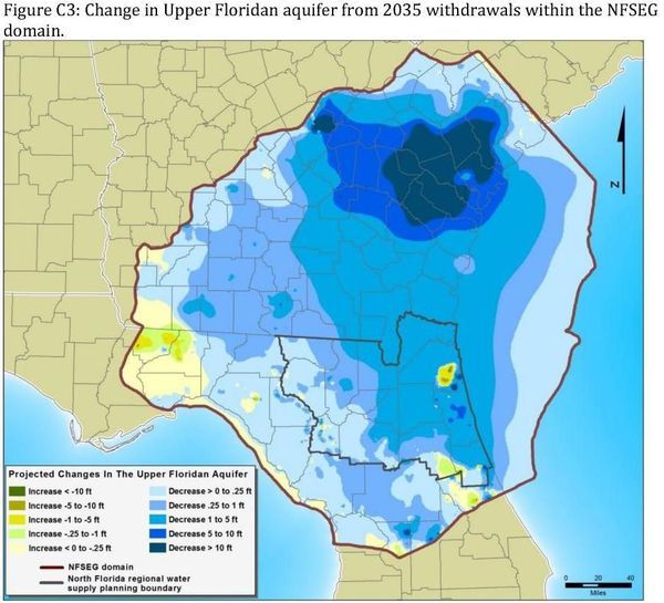
![[SRWMD & SJRWMD aquifer recharge project update @ SRWMD 2025-07-08, What about PFAS? and limits on water withdrawals?]](https://www.wwals.net/pictures/2025-07-08--srwmd-aquifer-recharge-project-update/fbmany.jpg)
A SRWMD Board member pointed out that desalination of seawater would cost less. Another pointed out that Jacksonville would just suck the water back out of the aquifer. More on board comments below.
Instead, how about Jacksonville and JEA treat their effluent to drinking water standards and reuse it for themselves? The money they save from pumping it to any of those recharge areas would be enormous. That would use less groundwater, so there would be less need for recharge.
The excuse for this project is increasing population needing more water. Continue reading
![[Santa Fe River BMAP Meeting, Lake Butler, FL 2024-10-28 Better communication than last time]](https://www.wwals.net/pictures/2024-10-28--santa-fe-bmap-meeting/many.jpg)
![[Help fix Florida BMAPs to fix Florida polluted waters 2024-10-28-30]](https://www.wwals.net/pictures/2024-10-30--suwannee-bmap/fbmany.jpg)
![[OFS Updates Agenda and Rainbow Springs Springshed]](https://www.wwals.net/pictures/2024-01-23--FDEP-Springs-BMAPs/fbmany.jpg)
![[Phosphate and Titanium Mines, and Trash @ NCFRPC 2023-01-26]](https://www.wwals.net/pictures/2023-01-26--ncfrpc-pictures/trashmines.jpg)
![[Collage]](https://www.wwals.net/pictures/2019-08-01--nfseg/many.jpg)
![[Map and Proposal]](https://www.wwals.net/pictures/2016-11-14--djprice-nfrwsp-recharge/many.jpg)
