Yesterday the Detail Group convened at
Troupville Boat Ramp
to see the site of the proposed Troupville River Park.
![[Photo: Gretchen Quarterman, of Chad McLeod (Lowndes County), George Page (VLPRA), Mac McCall (Architect), Jason Scarpate (ASA Engineering), John S. Quarterman (Suwannee Riverkeeper), Tom H. Johnson Jr. (WWALS President), Tom Baird (Archaeologist) at Troupville Boat Ramp]](https://www.wwals.net/pictures/gretchen/2020-08-27--wwals-troupville/troupville-boat-ramp.jpg)
Photo: Gretchen Quarterman, of Chad McLeod (Lowndes County), George Page (VLPRA), Mac McCall (Architect), Jason Scarpate (ASA Engineering), John S. Quarterman (Suwannee Riverkeeper), Tom H. Johnson Jr. (WWALS President), Tom Baird (Archaeologist) at Troupville Boat Ramp
A larger Steering Group is meeting weekly to update and resubmit
last year’s
application for a grant to the Georgia Outdoor Stewardship Program (GOSP) for a Troupville River Camp.
This year we have strong buy in from Lowndes County, the City of Valdosta, three local Authorities (Parks & Rec., Tourism, and Development), the Chamber of Commerce, McCall Architects, ASA Engineering, Valdosta Disc Golf, and others.
Suwannee River Water Management District has already been participating.
The local Georgia statehouse delegation was on last week’s call,
as was the Georgia Department of Natural Resources (GA-DNR).
Key to all of this is 74 acres for sale by Helen Tapp of Land Between the Rivers (LBTR),
below Troupville Boat Ramp down to the Little River Confluence,
to be combined with the existing 49-acre VLPRA park,
to create a 123-acre Troupville River Park.
If you or your organization are interested in helping with this
nature preserve and multi-use park, please let us know.
![[Concept Plan by ASA Engineering (rotated and trimmed)]](https://www.wwals.net/pictures/2019-10-31--wwals-gosp-troupville-river-camp/Troupville-River-Camp-Exhibit-1-rot-trim.jpg)
Concept Plan by ASA Engineering (rotated and trimmed)
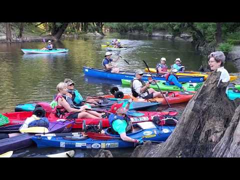
Yesterday we looked
to see
where hiking, biking, and horse trails might go,
to see
fishing spots along the Little River,
to look at
the Little River Confluence, where a Viewscape Pavilion can go.
![[Withlacoochee River comes in from left, continues ahead]](https://www.wwals.net/pictures/gretchen/2020-08-27--wwals-troupville/IMG_2784.jpg)
Withlacoochee River comes in from left, continues ahead
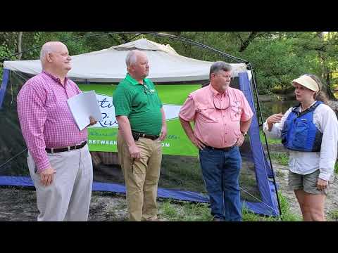
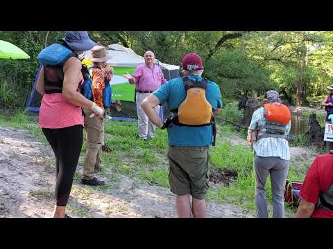
We considered
stairs or ramp for boaters to take out of the Withlacoochee River,
to look at
invasive plants and native palmettos, big oaks, and pines upstream,
along with deadfalls and switchbacks.
Then we
went inland to see where to put bathrooms, dining pavillion, and sleeping platforms for Troupville River Camp.
![[Chad McLeod (Lowndes County), Mark Gaither (Disc Golf), John S. Quarterman (Suwannee Riverkeeper), Tom Baird (Archaeologist), Jason Scarpate (ASA Engineering, Mac McCall (Architect), Tom H. Johnson Jr. (WWALS President), George Page (VLPRA)]](https://www.wwals.net/pictures/gretchen/2020-08-27--wwals-troupville/IMG_2795.jpg)
Chad McLeod (Lowndes County), Mark Gaither (Disc Golf), John S. Quarterman (Suwannee Riverkeeper), Tom Baird (Archaeologist), Jason Scarpate (ASA Engineering, Mac McCall (Architect), Tom H. Johnson Jr. (WWALS President), George Page (VLPRA)
We walked up the big discovery by ASA Engineering last November of
old Broad Street, the main north-south street and highway of historic Troupville,
the Lowndes County seat until 1860, before Valdosta.
To see where the Championship Disc Golf Course could go,
we walked down
the
Power line right of way
and the
Old Valdosta sewer line
near the Withlacoochee River, below the
Georgia 133 bridge over the Withlacoochee River.
Later, I went back and established that the apparent
East-west road
does indeed go through from the Little River to the
Crossroads with Broad Street.
I didn’t have much luck finding a road through east to the Withlacoochee River,
but I did find a
Nice hunting spot on the river,
more than one
Gopher hole,
and got pictures of
more of the old Valdosta sewer line easement
where a Disc Golf fairway can go.
Many of these pictures are by Continue reading →

![[Withlacoochee River cleanup, Radio, Troupville park land purchase, Langdale Park trail clearing]](https://wwals.net/pictures/2022-12-15--scott-james-radio/many.jpg)
![[Agenda item, map]](https://www.wwals.net/pictures/2022-12-13--lcc-purchase-troupville/many.jpg)
![[Troupville, Sugar Creek, Chairman and Mayor doing work, Drexel Park]](https://www.wwals.net/pictures/2021-10-09--river-creek-cleanup-pictures/many.jpg)
![[Street map]](https://www.wwals.net/pictures/2020-01-18--troupville-spook-bridge-withlacoochee/street-map.jpg)
![[Load 'em up, 07:51:54, 30.8515032, -83.3476099]](https://www.wwals.net/pictures/2019-06-15--troupville-confluence-spook-bridge/20190615_075154.jpg)
![[Helen Tapp]](https://www.wwals.net/pictures/2019-06-17--lbtr-wctv/helen-tapp.jpg)
![[During flood of-1928 with Blue Springs sign]](https://www.wwals.net/pictures/1928-08-19--withlacoochee-river-flood-us-84/Withlacoochee-River-bridge-GA-38-during-flood-of-1928-with-Blue-Springs-sign--Copy.jpg)
![[Quitman]](https://www.wwals.net/pictures/1928-08-19--withlacoochee-river-flood-us-84/qutg1_hg.jpg)