Tag Archives: land

Spectra responds in pipeline certificate rulemaking 2018-08-24

As we’ve seen so often in the Sabal Trail docket, Spectra seems to be acting in place of FERC, responding yesterday to thousands of comments on FERC’s certificate rulemaking.

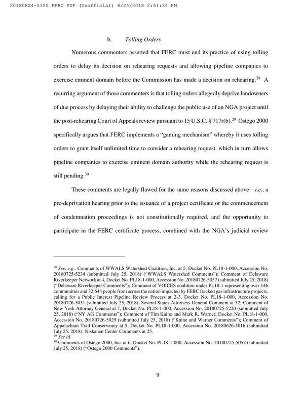
Spectra’s bottom line: a pipeline company’s bottom line matters more than the Fifth Amendment due process, or water, air, or safety. See page 25:

Contrary to some commenters’ arguments, the Commission’s public interest determinations are not rendered insufficient under the Fifth Amendment public use requirement because the Commission considers precedent agreements among applicants and affiliates to be evidence of public benefits.

Spectra repeatedly argues that FERC does not have authority to consider hardly anything other than whether the pipeline company has customers, yet FERC has authority to give eminent domain to private corporations and to let them gouge through our lands and under our rivers without local agreement or payment first.

Page 9: Tolling Orders, Pages

In this election year, you can ask every candidate for statehouse or Congress whether they support Continue reading

JIA replies to WWALS about marsh and land

“There currently are no plans for more development on Jekyll Island” said JIA in a response to WWALS’ assertion that marsh is not land. So why does a map under consideration by JIA show all marsh as land at mean high tide? Could “currently” mean until the law gets changed? -jsq

Continue reading

JIA map shows all marsh as land at mean high tide –David Egan

Received Thursday on Marsh is not land, not here, not at Jekyll Island –WWALS Watershed Coalition -jsq

WWALS Watershed Coalition is on target with its analysis of the Jekyll 65-35 issue! Just a quick glance at the the 65-35 map under consideration by the JIA reveals all —- according to the JIA, ALL of Jekyll’s tidal marsh is above water, as in dry, at mean high tide, and is therefore part of the land area of Jekyll Islnsd subject to the 65-35 law. On-site conditions deny the accuracy of that map, for most of the marsh is actually under water (as in wet) at the time of high tide. The JIA’s map can be viewed at http://www.savejekyllisland.org/MPMOAAMHWPapJuly2013.html

-David Egan


SaveJekyllIsland.org wrote: Continue reading