This was an op-ed in the Lake City Reporter, February 19, 2026, by Dennis J. Price, P.G., of Hamilton County, Florida. It’s about Water First North Florida (WFNF), the SRWMD and SJRWMD plan to pipe treated wastewater from Jacksonville into wetlands in the Suwannee River Basin.
He does not want the Suwannee River Basin to continue to be a giant water tower for Jacksonville, through the Floridan Aquifer. He suggests JEA could get drinking water from the St. Johns River instead of withdrawing it from groundwater.
Of JEA could get on with seawater desalination, as south Florida already does.
LETTERS TO THE EDITOR
Aquifer recharge is needed
To the editor:
Recently the Suwannee River Water Management District (SRWMD) proposed a plan to recharge water into our drinking water aquifer, the Floridan Aquifer. The plan is being coordinated with the St. John’s River Water Management District (SJRWMD). Duval County has a private company that supplies almost all the water used in Duval County. With the city of Jacksonville and outlying suburbs using most of that water, the company is the Jacksonville Electric Authority (JEA). The SJRWMD is the permitting authority that controls the amount of water the JEA can pump. There are practically no restraints placed on the JEA. The amount of water the JEA pumps is enormous, 120 million gallons per day. Growth in Duval County is growing rapidly, extending those suburbs towards and into Baker County.
Our aquifer is in limestone. It is cracked and fissured by several processes that occurred over the past several million years. The amount of cracks and connected fissures determine how fast water can move through the aquifer. The aquifer under Duval County has 2 problems. It doesn’t flow quickly from the north and from the south to the pumps and the Atlantic Ocean on the east is a barrier to fresh water flow. But water does flow easier from west to east, in other words from our direction to Jacksonville. Jacksonville is faced with a water problem. The wells closest to the coast are pulling salt water into the wells. USGS studies from 1990 based on 1980’s data shows that Jacksonville was already pulling water from underneath us and flowing to them. They have begun to move their production wells closer to Baker County. With Jacksonville’s growth, these new wells produce more water and therefore draws down the water in our aquifer.
Continue reading
![[Aquifer recharge is needed --Dennis J. Price, P.G. 2026-02-22, but Jacksonville pumping is the biggest problem]](https://www.wwals.net/pictures/2026-02-22--dennis-price-aquifer-op-ed/many.jpg)
![[Nutrien water withdrawals approved, Consent Agenda unchanged, Letters from WWALS and OSFR ignored --SRWMD 2025-09-09]](https://www.wwals.net/pictures/2025-09-09--srwmd-nutrien/fbmany.jpg)
![[Please remove Nutrien WUP from Consent Agenda and hold a Public Hearing --WWALS to SRWMD 2025-09-08]](https://www.wwals.net/pictures/2025-09-08--wwals-srwmd-nutrien-wup-swift-creek/fbmany.jpg)
![[PFAS in sewage effluent used to restore wetlands, Maybe into Nutrien Phosphate Mine wetlands on Swift Creek]](https://www.wwals.net/pictures/2025-07-18--pfas-in-sewage-wetlands-recharge/fbmany.jpg)
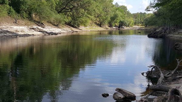
![[Swift Creek, Florida Trail, Water Quality Testing 2025-06-21, Suwannee River, Hamilton County, FL]](https://www.wwals.net/pictures/2025-06-21--swift-creek-wq/many.jpg)