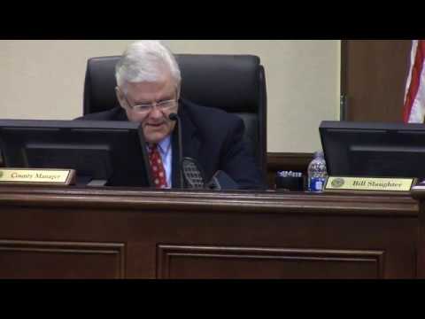
Congenial yet sometimes testy, the
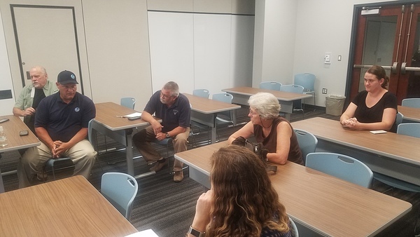
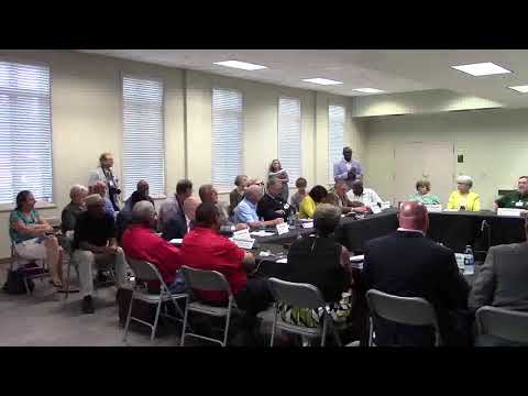
Florida counties meeting Valdosta about sewage again last night.
The Valdosta catch basin many Floridians thought would be finished by now?
Probably by December.
That report the Utilities Manager last time said explained why 8 or 10 million gallons was big enough for a catch basin?
No, it doesn’t explain that.
Fortunately, Georgia EPD wants to know how many gallons will be needed for how much rain,
and apparently won’t issue a permit for the catch basin until there are answers,
so maybe we’ll finally find out.
GA-EPD also wanted to know what if the catch basin fills up?
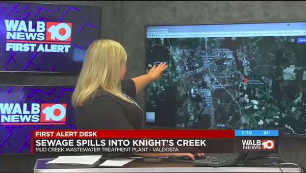
Valdosta’s answer: tanker trucks to ship the sewage from the Withlacoochee Wastewater Treatment Plant to the Mud Creek Wastewater Treatment Plant.
Or the other direction, if needed.
That sounds like a fine idea.
Although it doesn’t address the question of what if the heavy rains fall directly on Valdosta and both WTPs fill up.
Meanwhile, the catch basin is just one of a
combination of fixes,
mostly intended to alleviate infiltration of stormwater into the sewer system,
and about 25% of those are done, says Valdosta City Manager Mark Barber.
Will all these projects be finished this year?
No.
Floridians offer
to get national elected officials to help.
Floridians also emphasized Ecotourism,
and asked me to talk about
the 350 people who just came through on Paddle Georgia (#PaddleGA2019),
the WWALS Boomerang paddle race from Florida to Georgia and back,
and the proposed River Camp at the Little River Confluence west of Valdosta,
like the ones on the Suwannee River Wilderness Trail.
Valdosta Mayor John Gayle wrote down the date of the WWALS Boomerang (October 26th),
and afterwards both Hamilton and Madison Counties promised to help.
Tom Mirti of SRWMD described
Florida water quality testing,
but didn’t mention that FDEP’s monthly testing isn’t made public until four months later.
He did mention that FDEP is now testing for
sucralose.
Merrillee Malwwitz-Jipson, who requested that, was sitting right there.
Thanks to her and Jim Tatum for coming from Florida to this meeting.
Valdosta City Manager Mark Barber said Valdosta was still testing at the state line,
which caused me to ask
why I didn’t get any results for those locations this year in response to open records requests, then?
Valdosta Utilities Director Darryl Muse said that was because they haven’t actually tested at the state line this year.
He also complained that he had staff working 100 hours a week.
Which makes me wonder whether the city of Valdosta is really giving him what he needs,
or whether he hasn’t asked for everything he needs.
Anyway, people were rightly impressed with how much Valdosta has done and with their current plans.
However, there is still room for improvement.
Below are Continue reading →

![[Sewage Spill]](https://www.wwals.net/pictures/2019-08-23--vld-country-club-sewer/20190823_152201.jpg)
![[Plantation Drive]](https://www.wwals.net/pictures/2019-08-21--valdosta-plantation-drive-spill/tax-assessor-map.jpg)
![[071019-Special-Called-Meeting-Agenda-0001]](https://www.wwals.net/pictures/2019-07-10--vld-fl-counties/071019-Special-Called-Meeting-Agenda-0001.jpg)