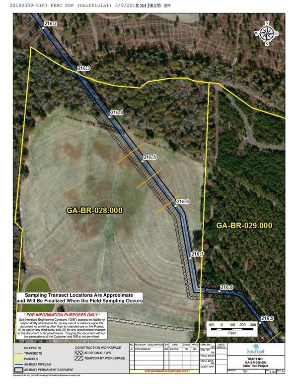
Yesterday Sabal Trail filed with FERC a sketchy plan to investigate the subsoil and topsoil mixing it caused on four farmers’ lands in two Georgia counties. The tail wagging the dog, Sabal Trail demanded FERC rubberstamp this plan within one week.

GA-BR-028.000 Dowdy north field, Little Creek, MP 216.4, 1657-PL-DG-70197-218, 30.9503000, -83.6217700
Needless to say FERC didn’t supply the GPS coordinates, nor the county parcel numbers, nor the related Sabal Trail alignment maps: WWALS did that, to figure out things are in what Sabal Trail filed.
The details are on the WWALS website, also including maps by WWALS.
-jsq, John S. Quarterman, Suwannee RIVERKEEPER®
You can join this fun and work by becoming a WWALS member today!
Short Link:
