“Once the court officially returns the matter to FERC, the pipeline should cease operations while FERC undertakes the new analysis,” wrote Elly Benson, lead attorney for the case Sierra Club just won against Sabal Trail.
She summed up: ”Instead of sacrificing our communities and environment to build unnecessary pipelines that “set up surefire profits” for pipeline companies at the expense of captive ratepayers, the focus should be on transitioning to clean renewable energy and energy efficiency—especially in the Sunshine State. Forcing federal agencies to grapple with the true climate impacts of dirty fossil fuel projects is a big step in the right direction.”
She leads off this fourth in a WWALS news roundup series (1, 2, 3) about that case, followed by Gordon Rogers, Flint Riverkeeper, another party to the case.
WWALS is not a party to that case and does not speak for the parties, so I can be a cheerleader for them. Shut it down! Let the sun rise!
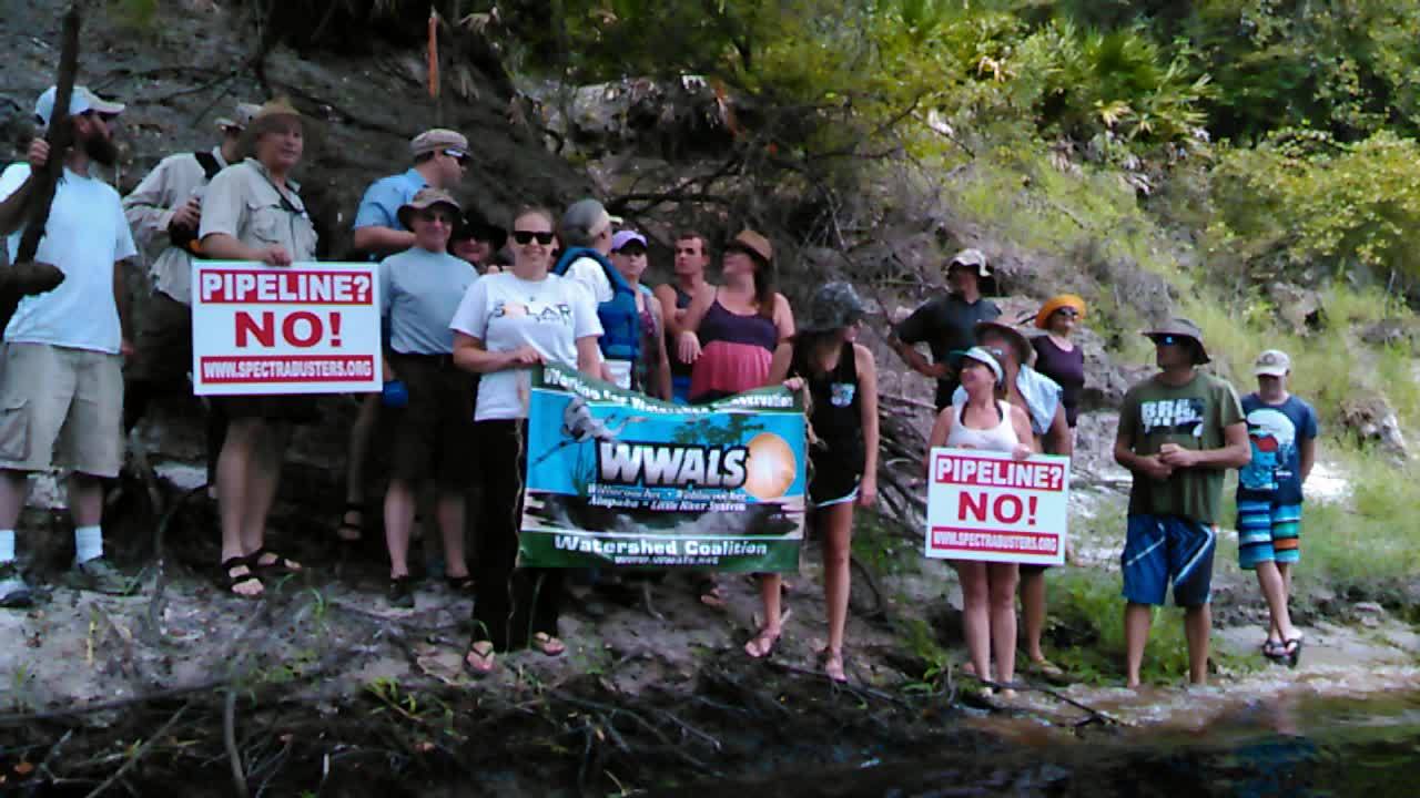
How many pipelines do we want? None!
When do we want them? Never!
—WWALS at the Sabal Trail Suwannee River crossing, 15 August 2015.
- Elly Benson, Sierra Club, 28 August 2017, In Major Climate Decision, D.C. Circuit Rejects Federal Approval of Sabal Trail Pipeline, Continue reading