 After getting some clarification on local bonds,
I invited VLCIA to the WWALS Quarterly presentation about Valdosta wastewater
and flood control,
to the
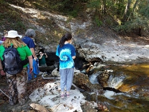
Dead River Sink hike,
and told them about the dye test that discovered where the Alapaha River water comes back up (at the Alapaha Rise).
Afterwards I nudged them about the letter in support of the Withlacoochee and Little River Water Trail they previously promised.
After getting some clarification on local bonds,
I invited VLCIA to the WWALS Quarterly presentation about Valdosta wastewater
and flood control,
to the
Dead River Sink hike,
and told them about the dye test that discovered where the Alapaha River water comes back up (at the Alapaha Rise).
Afterwards I nudged them about the letter in support of the Withlacoochee and Little River Water Trail they previously promised.
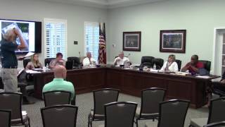
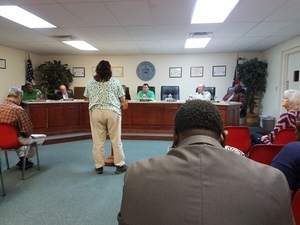
Some day some of them will actually come to a WWALS event, and meanwhile they seem to like to be invited. Here’s the LAKE video from the 18 October 2016 Regular Meeting of the Valdosta-Lowndes County Development Authority.
Continue reading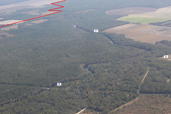
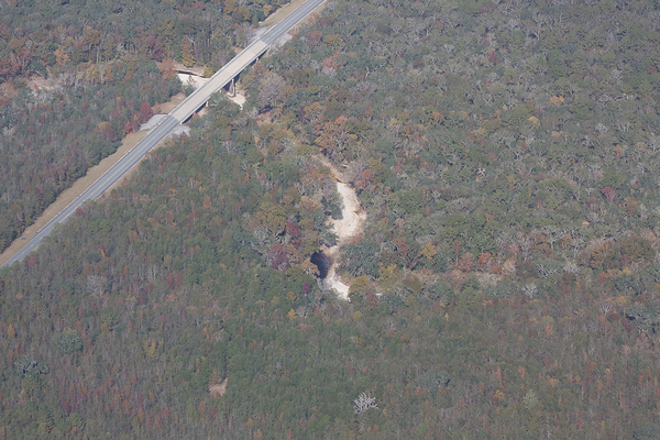

![[Don't fall into the Devil's Den, 30.5855189, -83.0528064]](https://www.wwals.net/pictures/2016-11-06--alapaha-sink/20161106_111756.jpg)