WWALS will tour Valdosta’s
Wastewater Treatment Plants (WTPs).
Thanks to Scott Fowler and Director Darryl Muse for the longstanding invitation.
WWALS invites you to come, from both Georgia and Florida,
especially people downstream on the Withlacoochee, Alapaha,
or Suwannee Rivers.
When:
9AM, Wednesday, 3 October 2018
Where:
Valdosta Utilties, 1016 Myrtle Street, Valdosta, Georgia 31601
The Myrtle Street off of E. Force Street between Troup and Forrest (not the one in Remerton).
Event:
facebook, meetup

Where:
We will go to the
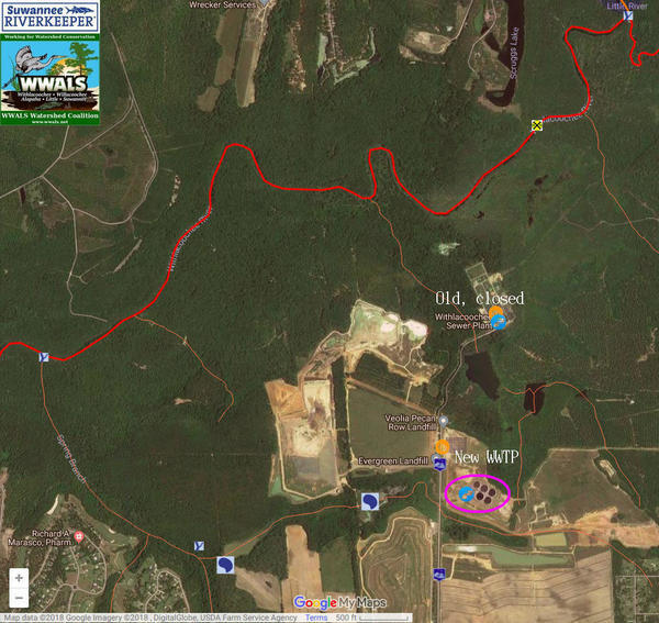
Withlacoochee WTP
next to the Withlacoochee River,
and the
Mud Creek WTP
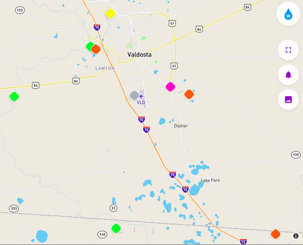
on Knights Creek, upstream from Mud Creek, the Alapahoochee River,
and the Alapaha River.
We may go to other points such as force mains or lift stations.
If we have time we will also tour Valdosta’s drinking water treatment plant.
Duration:
Probably several hours, but should be done by noon.
Free:
There is no charge.
This tour is primarily for WWALS members, but we won’t turn away
anybody else and I doubt Valdosta will, either.
We do recommend you
join WWALS today.
Why:
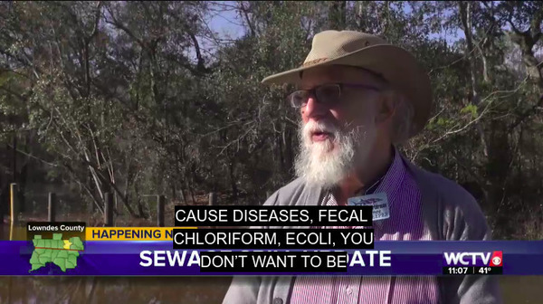
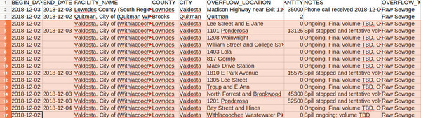
For why so many people are interested in Valdosta’s WTPs
and what Valdosta has done to date, see
Valdosta (and other) Wastewater.
This is not a regular WWALS outing or event, but for
more
WWALS outings and events as they are posted, see the WWALS calendar or
the
WWALS outings and events web page.
WWALS members also get an upcoming list in the Tannin Times newsletter.
-jsq, John S. Quarterman, Suwannee RIVERKEEPER®
You can join this fun and work by becoming a WWALS member today!


![[Julie Shutters, Ronnie Thomas, Erica McLelland, Shirley Kokidko, Joanne A. Wardell, Gretchen Quarterman, Bobby McKenzie, John S. Quarterman (hat)]](https://www.wwals.net/pictures/2018-09-16--wq-training-pictures/20180916_132727.jpg)