Update 2017-05-17: OK, the water’s gotten too low at the original location, so we’re moving downstream to
Woods Ferry Tract Launch to Suwannee Springs.
Update 2017-05-15: The water’s low, but so far it’s a go, plus it’s Hands across the Sands on the Suwannee against the Sabal Trail fracked methane pipeline and for solar power.
Update 2017-04-06: SRWMD tells us Blue Sink Launch is closed, so we’ll be taking out nearby at Swift Creek Launch.
Join WWALS for a brief paddle 8 miles on the Suwannee River through White Springs down to Blue Sink Swift Creek Launch.
This shouldn’t take more than 4 hours paddling or 5 hours including shuttle.
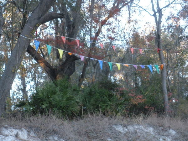
With lunch, swim stops, and bon-bons, of course.
Bring the usual personal flotation device, boat paddles, food, drinking water, warm clothes, and first aid kit.
If you don’t have a boat, there are many outfitters, or let us know and many of us have spare boats.
When: 9AM Saturday 20 May 2017
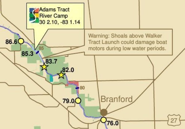
Put In: Suwannee River Wayside Park Ramp, river mile 171.0
From White Springs, travel south on US 41 to the river; the
ramp is on the south side in the town park.
GPS:
30.3255398,-82.7413685
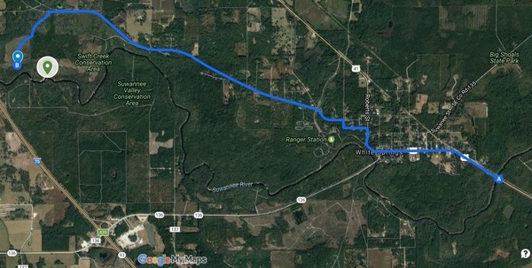
This map drawn using landing directions from the
Suwannee River Wilderness Trail map of
Boat Ramps & Canoe Launches
and SRWMD’s Blue Sink, Rocky Creek, Swift Creek.
Duration: 5 hours
Events:
facebook, meetup.
Free: This outing is Free!
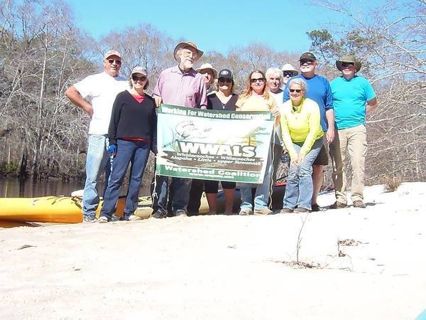
And we recommend you support the work of WWALS by
becoming a WWALS member today!
Shuttle Distance: Continue reading →

 for the
BIG Little River Paddle Race,
the grilled lunch, and the silent auction.
for the
BIG Little River Paddle Race,
the grilled lunch, and the silent auction.


![[McIntyre Spring and State Line Shoals 2016-07-09]](https://www.wwals.net/pictures/2016-07-09--nankin-ga-fl-line/igmany.jpg)