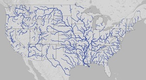
Update 3 March 2016: Suwannee River, ten rivers, and current location of USGS streamer.
The USGS Streamer interactive map
shows all (well, most) tributaries
of our two biggest WWALS rivers.
Visitors sometimes refer to our “four rivers”
since we only originally named four in our
WWALS mission:
Withlacoochee, Willacoochee, Alapaha, and Little.
Yet we added the upper Suwannee, and there always were more than that:
from one to ten rivers, depending on how you count them.
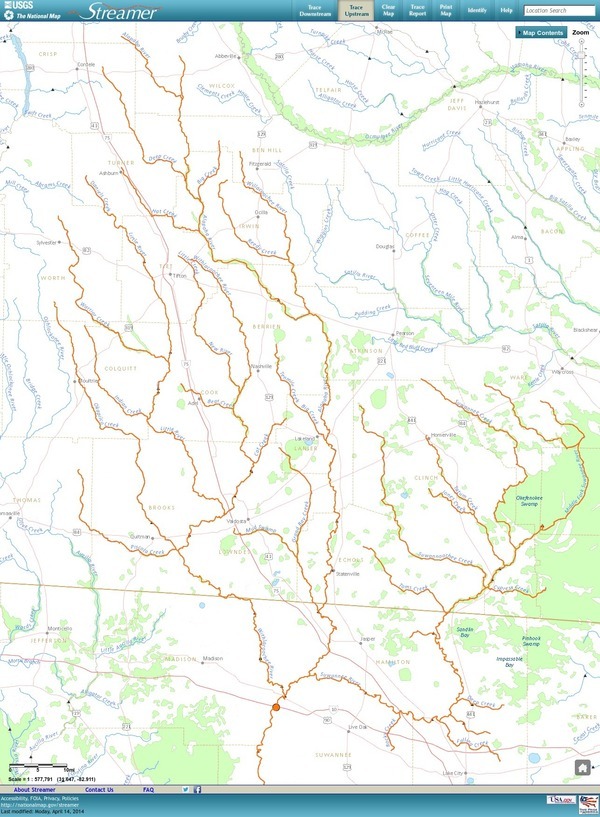
The Withlacoochee River tributary map here shows
the New River south of Tifton joining the Withlacoochee between
Nashville and Adel.
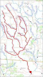
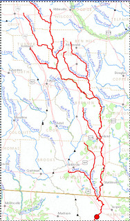
The New River is rather important, since it forms half of the boundary between Cook
and Berrien Counties (the Withlacoochee River forms the other half): Continue reading →

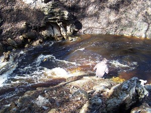
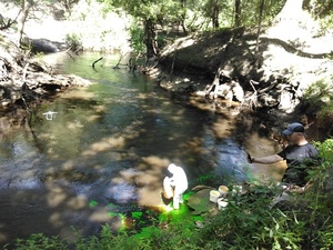 Tom Greenhalgh started putting the dye in the Dead River Swallet about 11:06 this morning,
with Harley Means observing in this picture, plus a drone also taking pictures.
See below for where to look for the dye coming back up in the next few days.
If you see it, please take a water sample for SRWMD. Continue reading
Tom Greenhalgh started putting the dye in the Dead River Swallet about 11:06 this morning,
with Harley Means observing in this picture, plus a drone also taking pictures.
See below for where to look for the dye coming back up in the next few days.
If you see it, please take a water sample for SRWMD. Continue reading