You can’t use traditional models for the karst Floridan Aquifer; new and harsher pesticides are expected this summer; but you can help raise native species; and later this month you can go see many of them in Berrien County, plus WWALS monthly outings, the Withlacoochee and Little River Water Trail, and the Alapaha River Water Trail and some WWALS history.
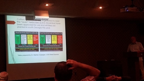
Yeah, coming this summer, and they’re head-scratchers.
All this was at the quarterly WWALS public meeting, this one on Water, Agriculture, and Forestry at Valdosta State University, March 28, 2017.
Here are links to each WWALS video of each talk, with a few notes and a few extra pictures, followed by a WWALS video playlist. Continue reading