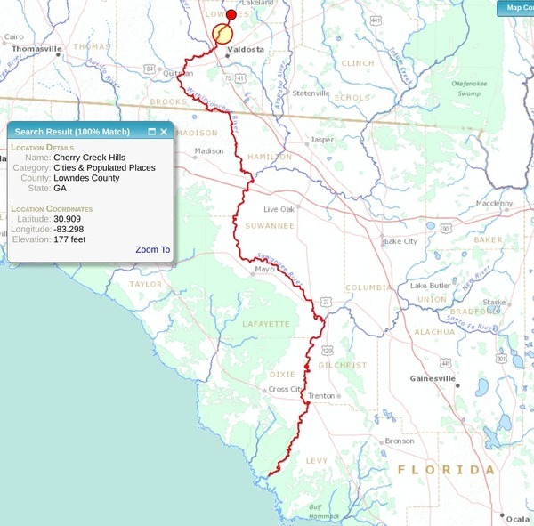
Why should anyone downstream care about an obscure creek north of Valdosta? Because it runs past sinkholes that leak into the Floridan Aquifer, into the Withlacoochee River, then into the Suwannee River, then into the Gulf of Mexico, going by all seven of the downstream Florida counties that passed resolutions asking the state of Florida to do something about Valdosta wastewater, not to mention neighborhoods and wetlands closer to the recent Cherry Creek Lift Station sewage leak, which was at least smaller than previous spills.
Cherry Creek, Withlacoochee River, Suwannee River, Gulf of Mexico
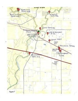
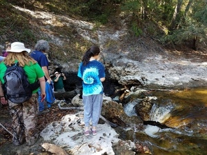
The orange red-circled disk shows Continue reading
![[Don't fall into the Devil's Den, 30.5855189, -83.0528064]](https://www.wwals.net/pictures/2016-11-06--alapaha-sink/20161106_111756.jpg)