Update 2025-05-30: Clean Withlacoochee River 2025-05-29.
The Withlacoochee River tested too high for E. coli for Thursday at Langdale Park, but clean upstream and OK downstream.
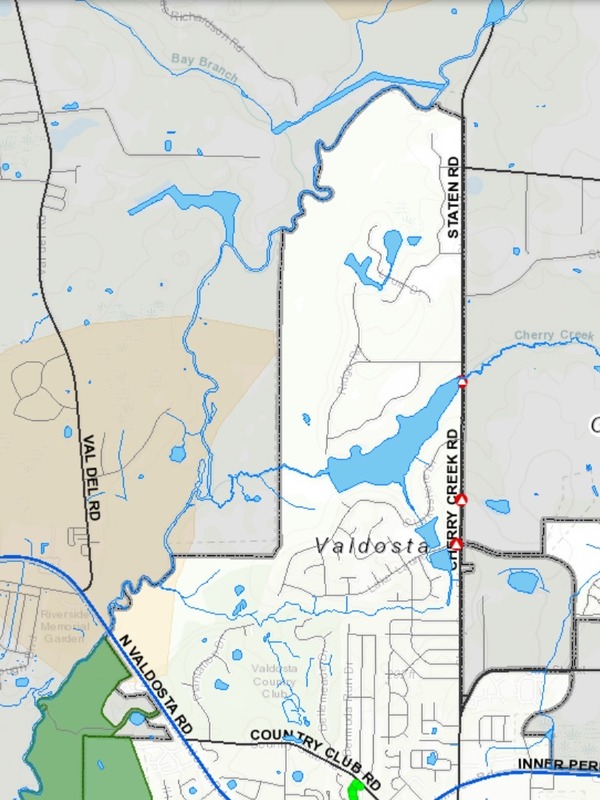
Whatever is amiss at Langdale Park, it’s not Sugar Creek, which is downstream. It could be Cherry Creek or Stillhouse Branch coming out of the Country Club. Or it could be coming from septic tanks west of Valdosta and the Withlacoochee River in Lowndes County. Or something else that washed in with the spotty rains Wednesday.
No new sewage spills have been reported in the past week in the Suwannee River Basin in Georgia or Florida.
No rain is predicted until Monday.
So happy paddling, swimming, fishing, and boating this weekend!
![[Filthy Langdale Park, Withlacoochee River 2025-02-22, Clean upstream and downstream]](https://www.wwals.net/pictures/2025-05-22--wq/many.jpg)
Filthy Langdale Park, Withlacoochee River 2025-02-22, Clean upstream and downstream
Or join us this weekend at
Florida Folk Festival in White Springs, Florida, on the banks of the Suwannee River.
https://wwals.net/?p=67238 Continue reading
![[Spill site behind 215 Knob Hill Road, VALORGIS, VLPRA, Lowndes County Tax Assessors, Pebblewood Drive detention pond, Three Mile Branch]](https://www.wwals.net/pictures/2024-01-10--valdosta-knob-hill-road-three-mile-branch-spill/igmany.jpg)
![[One Mile Branch crossing Pin Oak Circle in a floodplain and location maps]](https://www.wwals.net/pictures/2023-12-03--pin-oak-circle-sewage-one-mile-branch/many.jpg)
![[Langdale Park entrance and maps]](https://www.wwals.net/pictures/2022-08-05--n-vld-rd-partners/many.jpg)
![[Spill and Remer Lane Pump Station]](https://www.wwals.net/pictures/2019-12-09--vld-spill/spill-and-pump-station.jpg)