“There is no reason anyone
in WWALS’ watersheds should accept any risk for the
profit of Williams Company, Spectra Energy, and FPL, when
any need for the Sabal Trail pipeline is unproven, and in
any case the pipeline does not serve anyone in
Georgia.”
“There is no reason anyone
in WWALS’ watersheds should accept any risk for the
profit of Williams Company, Spectra Energy, and FPL, when
any need for the Sabal Trail pipeline is unproven, and in
any case the pipeline does not serve anyone in
Georgia.”
Filed with FERC 15 November 2014, and appeared in FERC’s ecomment system 17 November 2014 (PDF).

WWALS Watershed
Coalition, Inc.
3338 Country Club Road #L336
Valdosta, GA 31605
15 November 2014
VIA ELECTRONIC FILING
Ms. Kimberly Bose
Federal Energy Regulatory Commission
888 First Street NE
Washington, DC 20426
Re:
Southeast Market Pipelines Project,
Sabal Trail Transmission, LLC Docket No PFl4-1-000
Williams Transco Hillabee Expansion Project, LLC Docket No
PFl4-6-000
Dear Ms. Bose,
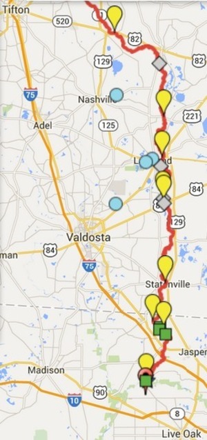
I applaud FERC for getting
Sabal Trail to move off of the Withlacoochee River in
Hamilton County, Florida. However, the same karst limestone
geology underlies the same Withlacoochee River and the
Floridan Aquifer in Brooks and Lowndes Counties, Georgia,
and WWALS Watershed Coalition continues Continue reading →

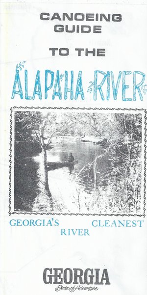
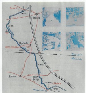 Including both Florida and Georgia,
a second river got map and guide attention back in the 1970s.
To be updated in the Withlacoochee River Water Trail.
Including both Florida and Georgia,
a second river got map and guide attention back in the 1970s.
To be updated in the Withlacoochee River Water Trail.