Join us for a leisurely scenic paddle on the dark oak-stained waters of the historic Suwannee Riverpast the White Sulfur Springs Bath House, Stephen Foster Cultural Center, and under Interstate 75, on to Woods Ferry Launch.
When: 9 AM, Saturday, May 12, 2018
Put In: White Springs Wayside Park
GPS: 30.32576, -82.73872
Take Out: Woods Ferry Tract Launch
Bring: the usual personal flotation device, boat paddles, food, drinking water, warm clothes, and first aid kit. Also trash pickers and trash bags: every WWALS outing is also a cleanup.
Cost: This outing is free to WWALS members, and $10 (ten dollars) to non-members. We recommend you support the work of WWALS by becoming a WWALS member today!

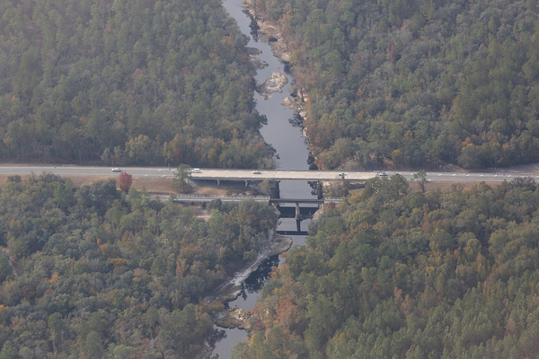
Photo: Beth Gammie on Southwings flight for WWALS 2016-11-23 of
US 41 Bridge, Suwannee River, White Springs, Florida.
Duration: 8 hours
Shuttle distance: 12 miles
Shuttle duration: 40 Minutes
This outing includes the traditional WWALS shuttle.
Everybody takes their boats to the put-in,
most people drive to the take-out,
and the drivers pile into one or two vehicles
and go back to the put-in.

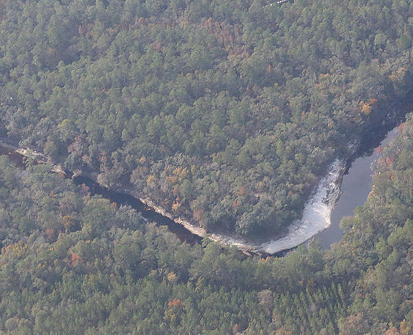
Photo: Beth Gammie on Southwings flight for WWALS 2016-11-23 of
Woods Ferry Tract Launch.
Paddle distance: 13 Miles
Paddle duration: 7 hours
Gauge: White Springs
Host: Phil Hubbard
Contact: Phil Hubbard
History: Just upstream of the put-in is a railroad bridge. According to Steve Storey, Railroad History, Georgia Southern & Florida Railroad,
In 1917 the railroad reported owning 392 miles of line consisting of 285 miles from Macon to Palatka and 107 miles from Valdosta to Grand Crossing, near Jacksonville.
The line’s nickname was the Suwanee River Route. It crossed the stream, made famous by an 1850s Stephen Foster song, at White Springs, FL.

Old postcard showing the GS&F Suwanee River bridge at White Springs, FL. The railroad was misidentified as the “G&FS.”
(State Archives of Florida, Florida Memory, via
Steve Storey, Railroad History,
Georgia Southern & Florida Railroad).

Photo: Beth Gammie on Southwings flight for WWALS 2016-11-23 of
White Springs, Florida.
Aerials: We flew over this stretch November 23, 2016, on a Southwings flight for WWALS, and Beth Gammie took the aerials in this post; many more are on the WWALS website.

Photo: Beth Gammie on Southwings flight for WWALS 2016-11-23 of
I-75 Bridge and Louisa Spring.
See also the Google map.
Before: A year ago we paddled the next stretch downstream, Woods Ferry to Suwannee Springs.

Wading in the river, 30.3693500, -82.8884400
Backup: in case of high or low water is: Shorten paddle to Swift Creek if need or move to Ray’s Mill Pond.
More: For more outings and events as they are posted, see the WWALS calendar or the Outings Spreadsheet.
-jsq, John S. Quarterman, Suwannee RIVERKEEPER®
You can join this fun and work by becoming a WWALS member today!
Google Map
Follow this link for the interactive google map, or it’s also embedded below.
Short Link:

