The Madison County, Florida, Board of County Commissioners is meeting again this Wednesday morning before the
two other meetings about Valdosta wastewater that same day.
When:
9 AM, January 8, 2020
Where:
Courthouse Annex – Commission Meeting Room,
229 SW Pinckney Street, Madison, FL 32340
What: Regular Meeting, Madison County Board of County Commissioners
Speaking: Sign in for Petitions from the Public, 5 minutes each, at the beginning of the meeting.
The Madison BOCC has had three special called meetings about Valdosta wastewater, in which it allocated $5,000 for water well testing, declared a State of Emergency, extended it twice, and received a report of results of testing of private wells.
Madison BOCC also also distributed information from Madison County Health Department about testing water wells and when and how to disinfect a water well.
Hamilton County, Florida BOCC and Health Department implemented the same measures.
Will Valdosta pay for these extraordinary expenditures of money and resources by downstream counties?
What did Valdosta, Lowndes County, or Brooks County, Georgia, do?
It seems that there are fewer people living along the Withlacoochee River in
those counties than in these Florida counties,
but some concern for those that do would seem appropriate.
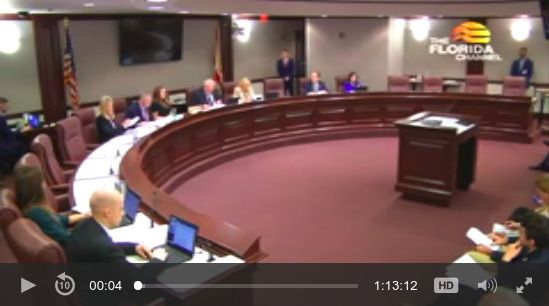
In the
agenda packet, on page 12,
are the one-page MINUTES OF THE SPECIAL MEETING,
FRIDAY, JANUARY 3, 2020:
![[Well testing results]](https://www.wwals.net/pictures/2020-01-08--madco-bocc-agenda-packet/01.08.20-BOCC-Packet-0012.jpg)
Well testing results
PDF
New Business #1: Discussion and Possible Approval of Extension of
Declaration of State of Emergency in Response to the City of
Valdosta Sewage Spill into the Withlachoochee River. Continue reading →

![[FORWARD FLOW SCHEMATIC]](https://www.wwals.net/pictures/2019-09-01--catch-basin-vld-wwtp/ORR-2019-357-John-Quarterman-Secondary-EQ-DDR--Final-123019-0007.jpg)
![[Tribal Grounds west along GA 94 to TPM equipment, 12:38:38, 30.5257540, -82.0411100]](https://www.wwals.net/pictures/2019-10-05--equipment-tpm/triba-grounds-to-TPM-equipment.jpg)
![[Early (12/10-12/18)]](https://www.wwals.net/pictures/2019-01-01--ga-fl-wq-vld-sewage/0early.jpg)
![[Distant 2019-11-23]](https://www.wwals.net/pictures/2019-11-23--drone-tpm/74335863_496999617569694_628442505263710208_n.jpg)
![[Rhonda Kelly with the kayak she won in the WWALS raffle]](https://www.wwals.net/pictures/gretchen/2019-12-10--rhonda-kelly-kayak/IMG_7363.jpg)
![[Boat light, double moon, 18:30:47, 31.0273566, -83.1061174]](https://www.wwals.net/pictures/2018-12-22--banks-lake-solstice-moon-paddle/20181222_183047.jpg)
![[Look what we bagged!]](https://www.wwals.net/pictures/2019-12-30--kf-sl-wq-suzy-hall/20191230_155727_resized.jpg)