
Update 2025-10-13: better picture format, and links to the previous parts.
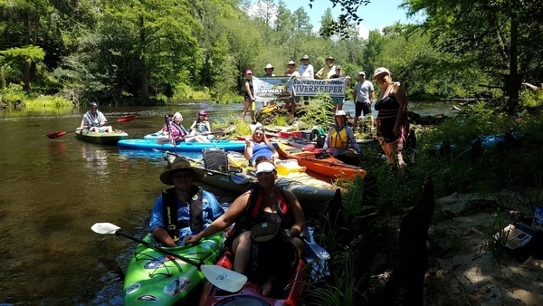
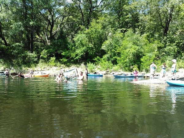
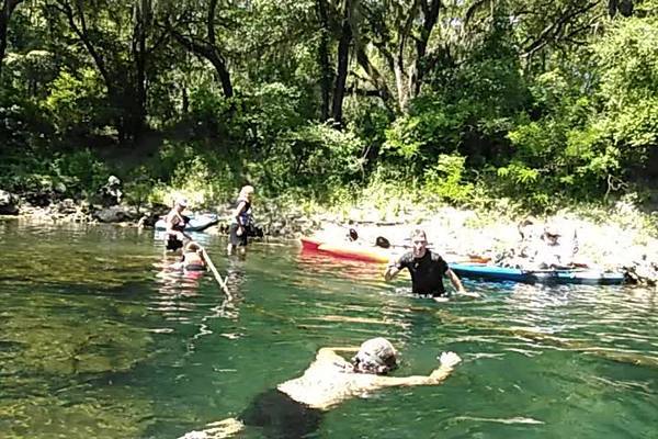
A fine fall day on the Withlacoochee River with WWALS Watershed Coalition and Suwannee Riverkeeper, diving and landowners at Arnold Springs, Old Clyattville Road Bridge, exotic invasive Japanese Climbing Fern, Horn Bridge. and Mozell Spells (State Line Ramp). Thanks to all who came to paddle from as far as two hours from Gainesville, Florida and four hours from Pine Mountain, Georgia.
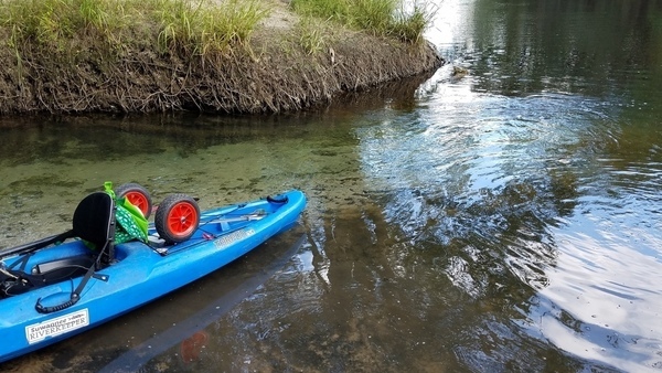
![[Clear spring water, 2017-10-14, 15:13:01, 30.6410851, -83.3367726 --jsq for WWALS]](https://www.wwals.net/pictures/2017-10-14--arnold-springs-mozell-spells-withlacoochee-river/20171014_151301.jpg)
Clear spring water, 2017-10-14, 15:13:01, –jsq for WWALS 30.6410851, -83.3367726
Blue-green Arnold Springs water meets tea-colored Withlacoochee River water.
The Quitman Gauge (US 84) read 2.17 feet (85.67 NAVD88), which was slightly above our recommended low level, and just fine for Arnold Springs. Here are some pictures and a Google Map. A few videos will follow.
This part of the outing was all in Georgia, but we paddled downstream from Florida to get there; see Continue reading
![[Cover and inside]](https://www.wwals.net/pictures/2022-06-30--welander-book/many.jpg)
![[Valdosta Railway Trestle in the middle]](https://www.wwals.net/pictures/2021-08-07--nankin-state-line-sullivan-pictures/many.jpg)
![[Phil Hubbard interviews Burt Kornegay]](https://www.wwals.net/pictures/2018-03-24--burt-kornegay/sddefault.jpg)
![[A happy paddler]](https://www.wwals.net/pictures/2018-03-24--burt-kornegay/20180324_141501.jpg)

![[McIntyre Spring and State Line Shoals 2016-07-09]](https://www.wwals.net/pictures/2016-07-09--nankin-ga-fl-line/igmany.jpg)