Update 2018-10-28: Now at State Line Ramp! Yes, we’ve moved downstream, to plenty of water, no deadfalls, plus shoals, in two states (Georgia and Florida) and four counties (Lowndes, Brooks, Madison, and Hamilton).
Update 2018-10-25: See new blog post with PDF flyers including new sponsors the YMCA and Girl Scouts of Historic Georgia, plus food by Under Construction BBQ, and at the turnaround walk up to The Salty Snapper, with aerial drone photography by The Georgia Photography Fanatic.
-jsq, John S. Quarterman, Suwannee RIVERKEEPER®
You can join this fun and work by becoming a WWALS member today!
Update 2018-10-08: Early-bird $20 ticket deadline extended through October 13th!
Downstream and up again: it’s the WWALS Boomerang, from Langdale Park Boat Ramp to Sugar Creek Landing on the Withlacoochee River. Join us for a fun filled day of kayak and canoe racing and leisurely paddling.
 New WWALS board member Bobby McKenzie,
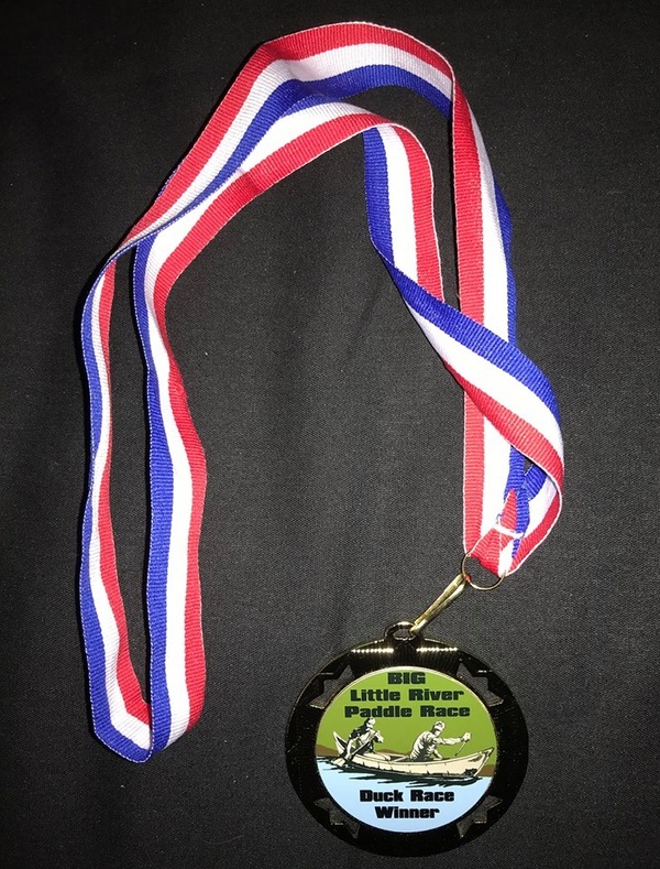
whose son Zavier was the youngest finisher at our spring
BIG Little River Paddle Race,
has volunteered to organize a fall race,
with the enthusiastic support of the board and the Outings Committee.
New WWALS board member Bobby McKenzie,
whose son Zavier was the youngest finisher at our spring
BIG Little River Paddle Race,
has volunteered to organize a fall race,
with the enthusiastic support of the board and the Outings Committee.
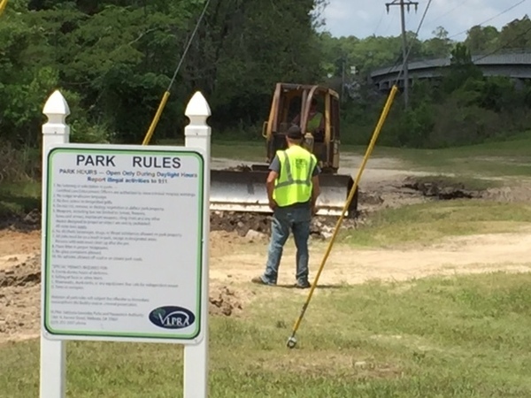
We would also like to thank George Page, Executive Director of Valdosta-Lowndes County Parks and Recreation Authority (VLPRA), for his and VLPRA’s support. VLPRA renovated Langdale Park last year, so let’s go boat from there.
When: 11:00 AM, November 3, 2018
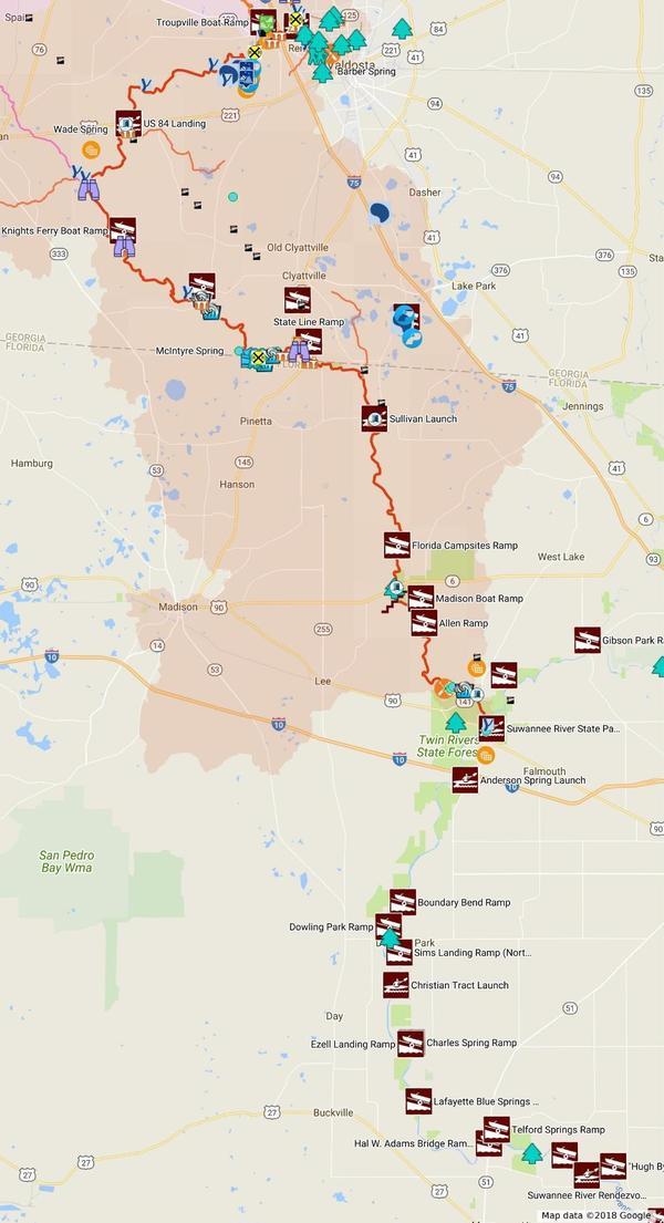
Put In: Langdale Park Boat Ramp, 3781 N. Valdosta Rd., Valdosta, GA 31602. This is just outside the Valdosta City limits in Lowndes County, off of North Valdosta Road (US 41 North). Only 5.5 miles from downtown and only 4 miles from Valdosta State University.
GPS: 30.88727, -83.32395
Tickets:
$20 per boat through extended October 13, then $30.
We also recommend you support the work of WWALS by
becoming a WWALS member today!
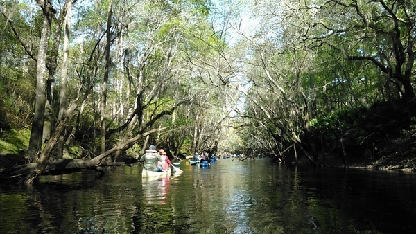
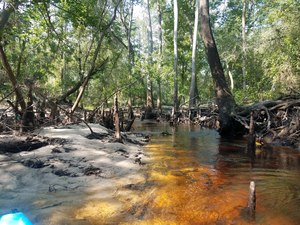
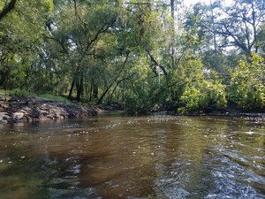
Withlacoochee River, 2016-03-20.
![[Log in tree, 2018:07:14 10:02:25, 30.8495694, -83.3402911]](https://www.wwals.net/pictures/2018-07-21--withlacoochee-troupville/20180714_100225.jpg)
![[Withlacoochee River at GA 133 in the WWALS map of the Withlacoochee and Little River Water Trail (WLRWT)]](https://www.wwals.net/pictures/2018-07-21--withlacoochee-troupville/google-map.jpg)
![[Beavers?, 2018:07:14 10:02:45, 30.8491566, -83.3404211]](https://www.wwals.net/pictures/2018-07-21--withlacoochee-troupville/20180714_100245.jpg)


![[Deer stand, 2018:07:14 10:11:39, 30.8472271, -83.3428214]](https://www.wwals.net/pictures/2018-07-21--withlacoochee-troupville/20180714_101139.jpg)
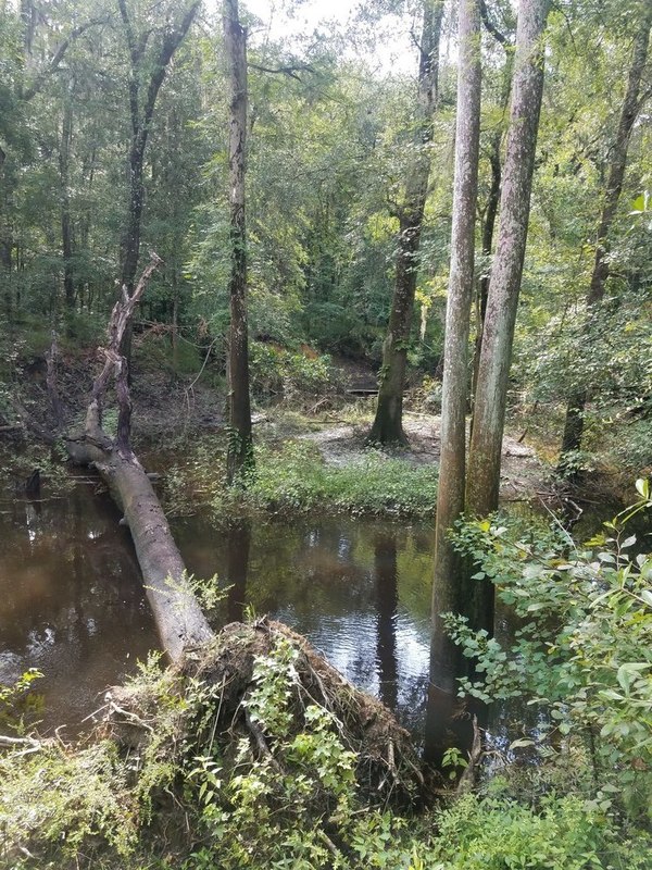
![[Side deadfall, 2018:07:14 10:17:13, 30.8461670, -83.3430003]](https://www.wwals.net/pictures/2018-07-21--withlacoochee-troupville/20180714_101713.jpg)
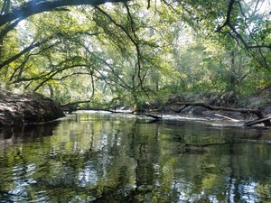
![[End of cutoff, 2018:07:14 10:18:11, 30.8467601, -83.3425382]](https://www.wwals.net/pictures/2018-07-21--withlacoochee-troupville/20180714_101811.jpg)
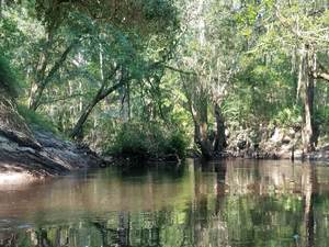
![[Trees, 2018:07:14 10:41:51, 30.8479584, -83.3408428]](https://www.wwals.net/pictures/2018-07-21--withlacoochee-troupville/20180714_104151-0.jpg)
![[Power line, 2018:07:14 10:52:08, 30.8499246, -83.3400640]](https://www.wwals.net/pictures/2018-07-21--withlacoochee-troupville/20180714_105208.jpg)
![[Submerged deadfall, 2018:07:14 11:14:34, 30.8519610, -83.3391584]](https://www.wwals.net/pictures/2018-07-21--withlacoochee-troupville/20180714_111435.jpg)
![[Finish]](https://www.wwals.net/pictures/2018-04-28--blrpr-hubbard/4063062-28Apr18.jpg)