Update 2019-03-19: The google map now includes Florida Southeast Connection (FSC) and FPL’s Martin County to Riviera Beach (MR-RV) pipeline to the sea, which FPL in 2018 got FPSC and FERC to roll into FSC. See also Stop FERC Shirking LNG Oversight.
 Update 2016-12-13: The google map now includes the Sabal Trail path digitized for all of Georgia and to the end of the line in Florida south of Orlando.
Update 2016-11-29: In the google map, extended the Sabal Trail alignment maps localized by LAKE for Mitchell, Colquitt, Brooks, and Lowndes Counties, Georgia, and Hamilton, Suwannee, and Gilchrist Counties, Florida to just north of Bell, FL, plus on the crowdsourcing map, WWALS aerials of Gilchrist County.
Update 2016-11-03: Added to the google map digitized path and maps for Gilchrist, Alachua, and part of Levy Counties, FL.
Update 2016-10-31: Added to the google map: Aerials: Suwannee, Ocholockonee, Withlacoochee, Santa Fe Rivers, Okapilco Creek, Sabal Trail Moultrie CY3-6 @ WWALS Southwings 2016-10-22.
Update 2016-10-30: The google map now has all Sabal Trail’s alignment maps from 7 April 2016 linked in for (part of Gilchrist 2016-11-29), Suwannee and Hamilton Counties, FL and Lowndes, Brooks, Colquitt, and Mitchell Counties, GA. Aerial pictures from the WWALS Southwings flight of October 22nd 2016 are also linked in, starting with US 84 HDD Withlacoochee River and US 129 HDD Santa Fe River.
Update 2016-09-14: All 527 alignment maps Sabal Trail filed with FERC in April 2016, in small, big, huge, and PDF formats, courtesy of Lowndes Area Knowledge Exchange (LAKE).
Update 2016-09-23: Added Depressions within 1 mile of Sabal Trail in Hamilton, Madison, and Suwannee Counties, Florida. The pipeline path doesn’t go through Madison County, but it comes closer than a mile, and not even two miles from Madison Blue Spring.
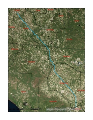
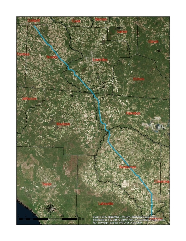
These maps show the path Sabal Trail is gouging its fracked methane pipeline through south Georgia and north Florida, with comparisons to some geological features, including Okapilco Creek, Withlacoochee River, Suwannee River, Suwannacoochee Spring, Falmouth Spring, the Cathedral Cave System, and numerous karstic features, some of them sinkholes.
 This digitizaiton is thanks to
Prof. Can Denizman, Associate Professor, Valdosta State University.
Naturally it isn’t perfect (note the apparent backtrack just north of GA 122), but it’s close enough for some interesting comparisons.
Prof. Denizman’s team also produced the three maps of
South Georgia and north Florida,
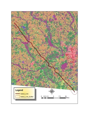
Brooks and Lowndes Counties, GA,
and
Hamilton and Suwannee Counties, FL (click on any small map to get a larger map).
They are working on extending the digitization farther along the pipeline path.
The digitization was done from the latest full set of maps Sabal Trail filed with FERC, in Accession Number 20160407-5081, 7 April 2016, “Sabal Trail Transmission, LLC submits its Implementation Plan – Supplemental Information for the Sabal Trail Project under CP15-17.” You can retrieve them yourself. Beware: they are large PDF files, and there are many of them. Plus Sabal Trail has filed various small changes since then.
WWALS has published a few of those April 7th 2016 Sabal Trail maps, especially the ones for river crossings, in FERC Authorization for Sabal Trail to Commence Drilling under Georgia Rivers 2016-08-25.
Update 2016-10-10: All 527 of Sabal Trail’s April 2016 alignment maps are now available in small, big, huge, and PDF formats, courtesy of Lowndes Area Knowledge Exchange (LAKE).
 The geolocation data (latitudes and longitudes) underlying these maps is available to researchers.
If interested, send email to contact at wwals.net.
You can also zoom and pan in the
google map made from the same data.
For more information about the unnecessary, destructive, and hazardous Sabal Trail boondoggle, see www.wwals.net/issues/stt/
-jsq
You can join this fun and work by becoming a WWALS member today!
South Georgia and north Florida
Brooks and Lowndes Counties, GA
Hamilton and Suwannee Counties, FL
13% depressions within 1 mile of Sabal Trail
Added Gilchrist, Alachua, and part of Levy Counties, FL
Plus a little bit of the Citrus County Line on the google map.
Karstic depressions within 1 mile of Sabal Trail
Caves near Sabal Trail
Google Map
Follow this link to the google map, or it’s also embedded below.
You can join this fun and work by becoming a WWALS member today!
Short Link:


