
A resolution supporting the TPM mine is on the agenda for the Charlton County Commission meeting, 6PM this Thursday, August 15, 2019, 68 Kingsland Drive, Folkston, GA. Especially if you live in Charlston County, please go to that meeting and object. Even better, contact your County Commissioner before the meeting.
![[Suwannee Riverkeeper op-ed 2019-08-13]](https://www.wwals.net/pictures/2019-07-12--tpm-usace/20190814_110602.jpg)
Suwannee Riverkeeper op-ed 2019-08-13
Suwannee Riverkeeper op-ed in the Charlton County Herald, yesterday, August 13, 2019:
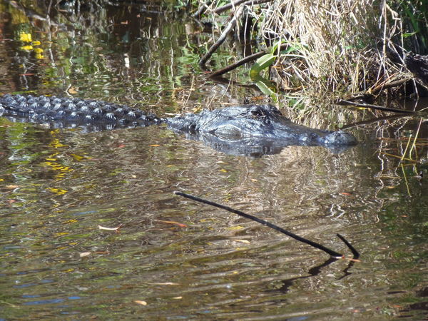
Swamp more important than miners under Consent Order in Florida
Twin Pines Minerals (TPM) promises jobs, taxes, and low impact to mine for titanium between Moniac and St. George, on property that extends up to the Okefenokee NWR.
People from Baker, Bradford, and Union Counties, Florida, say they don’t know any locals who have the mine jobs promised by Chemours. The TPM application for Charlton County promises Continue reading
![[Four times spelled out]](https://www.wwals.net/pictures/2019-02-07--lfco-chemours/tpm.jpg)
![[TPM, GA and Chemours FL mines]](https://www.wwals.net/pictures/2019-02-07--lfco-chemours/map-tpm-chemours-plain.jpg)
![[Closeup]](https://www.wwals.net/pictures/2019-07-30--chemours-dredge/IMG_2032.jpg)
![[Cover]](https://www.wwals.net/pictures/2015-04-23--charlton-co-comp-plan/6af48455f95d73e770675304b98ebfc4-0004.jpg)
![[Front page]](https://www.wwals.net/pictures/2019-07-18--alex-kearns-tpm-tribune/T-G-1-mining.jpg)
![[Trail Ridge Land LLC]](https://www.wwals.net/pictures/2019-07-12--tpm-usace/trail-ridge-land.jpg)
![[Suwannee River Basin Landings]](https://www.wwals.net/pictures/2019-07-12--tpm-usace/landings.jpg)
![[Moon paddlers]](https://www.wwals.net/pictures/2019-07-16--banks-lake-moon/20190716_205647.jpg)
![[Attorney?, County Administrator Hampton Raulerson, Absent Jesse Crews (3), Vice Chair Alphya Benefield (1), Chair James E. Everett (2), , Drew Jones (4), Luke Gowen (5), County Clerk Jenifer Nobles, Finance Coordinator Rebecca Harden]](https://www.wwals.net/pictures/2019-07-18--charlton-bocc/20190718_175920.jpg)