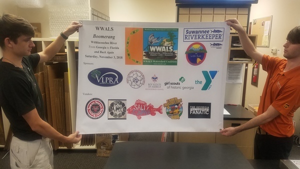
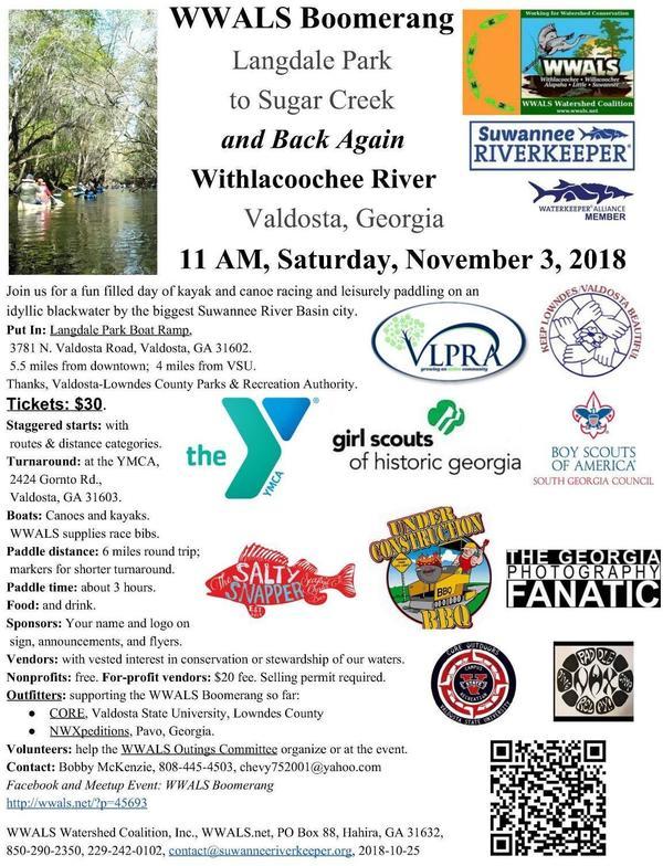
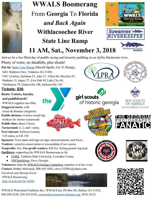
WWALS Boomerang
From Georgia
To Florida
and Back Again
Withlacoochee River
State Line Ramp (Mozell Spells)
11 AM, Saturday, November 3, 2018
Join us for a fun filled day of paddle racing and leisurely paddling
on an idyllic blackwater river.
Yes, we’ve moved downstream, to plenty of water, no deadfalls, plus shoals, in two states (Georgia and Florida) and four counties (Lowndes, Brooks, Madison, and Hamilton)!
Follow this link for a printable PDF flyer.
Or this link for the same flyer 2 per page.
Event: facebook,
meetup, but don’t forget to get tickets!
Tickets:
$30 per boat.
We also recommend you support the work of WWALS by
becoming a WWALS member today!
When:
11:00 AM, November 3, 2018
Put In:
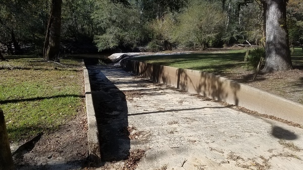
State Line Ramp (Mozell Spells, GA 31 Ramp),
6461 Madison Hwy, Valdosta, GA 31601.
GPS:
30.637844, -83.311149
VSU 16 miles, Quitman 23, Adel 37, Tifton 60, Moultrie 55,
Madison 15, Jasper 27, Live Oak 40, Lake City 60,
Tallahassee 70, Gainesville 108, Jacksonville 120.
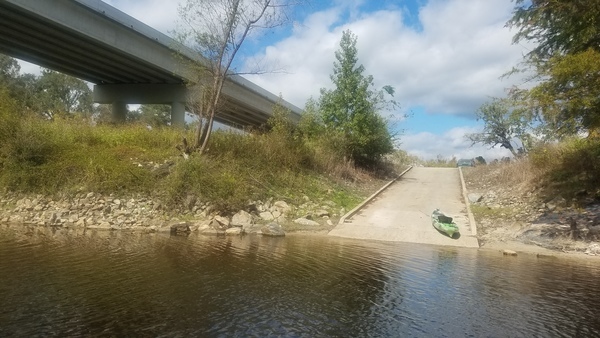
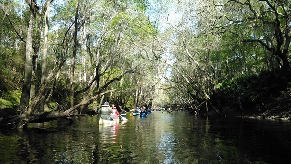
Photo: John S. Quarterman, Horn Bridge and State Line Boat Ramp (Mozell Spells), 2018-10-27
Continue reading →

![[Driveway, pavillion, streetlight, logjam, sandbar (rotated)]](https://www.wwals.net/pictures/2020-11-29--langdale-park-upgrade/manyrot.jpg)