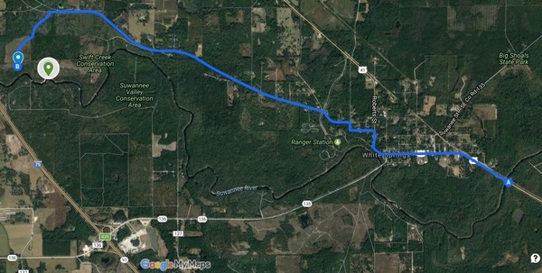
Update 2017-05-17: OK, the water’s gotten too low at the original location, so we’re moving downstream to Woods Ferry Tract Launch to Suwannee Springs.
Hands Across the Sand on the Suwannee Saturday! The river is quite low (48.78 feet NAVD on the White Springs gage), but it looks doable from the put-in and take-out. A ranger at Stephen Foster State Park told me paddling from White Springs to Swift Creek would be doable, perhaps with a few dry spots. I’ll also call a local outfitter or two for their opinions.
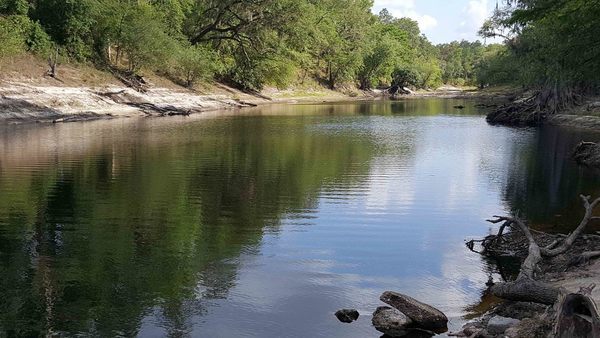
White Springs down from ramp
Meanwhile, bring bug spray (gnats) and a rope (to pull your boat over sand bars), and we’re still on for 9AM Saturday 20 May 2017. See the outing announcement for more details.
Plus: that’s the day of Hands Across the Sand, “Say NO to dirty fuels and YES to clean energy”. WWALS has been saying that for years, so somewhere on the Suwannee we will stop and do Hands Across the Sand against the Sabal Trail fracked methane pipeline and for solar power.