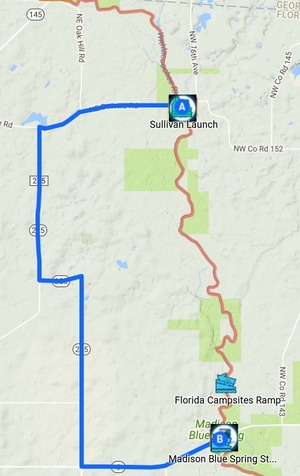
Two years ago the water level was 41.27 feet and today it’s 42.56 at the USGS Madison (FL 6) gage, so the Withlacoochee River is fine for today’s WWALS outing from Sullivan Launch to Madison Blue Spring; follow the link for details. Also WWALS Outings Chair Phil Hubbard visited the put-in and the take-out yesterday, and reports the water is fine.
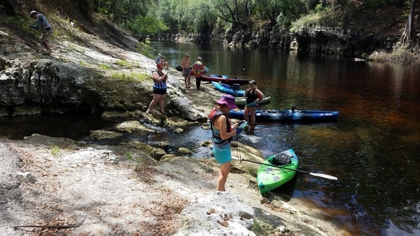
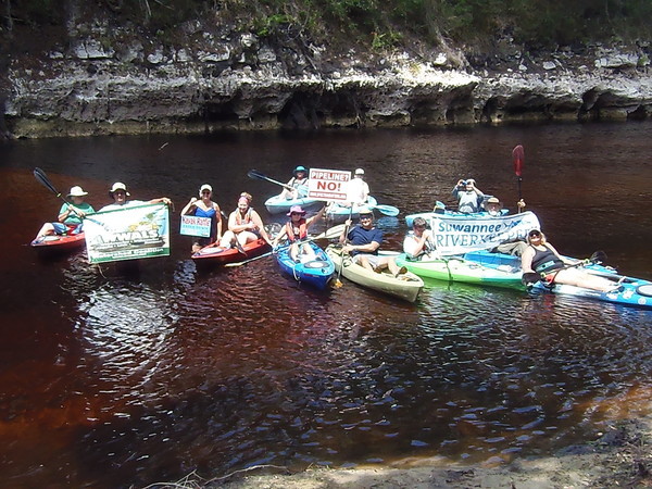
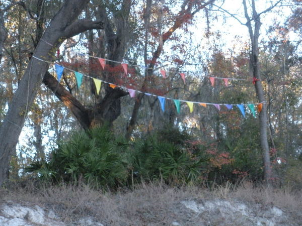
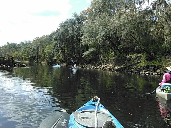
Here are some pictures from the same route two years ago, 24 October 2015.
We won’t see as many rapids today since with the water more than a foot higher we’ll float over some of those shoals, but we’ll see some, and many springs. Bring swimming clothes and also trash bags, because every outing is also a cleanup.
-jsq, John S. Quarterman, Suwannee RIVERKEEPER®
You can join this fun and work by becoming a WWALS member today!
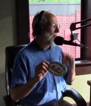
![[Dwight Griner winner closeup]](/pictures/2017-04-29--blrpr-hubbard/dwight-crop.jpg)