Update 2017-03-17: Yes, there’s plenty of water and the weather forecast is fine.
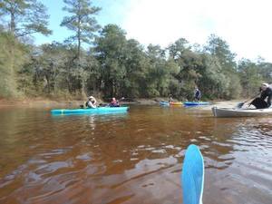
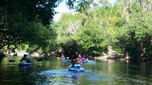
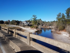
A long downstream paddle on the historic Suwannee River from Georgia into Florida.
 In the winter-spring rainy season the water should be high and fast.
Bring the usual personal flotation device, boat paddles, food, drinking water, warm clothes, and first aid kit. There is no good place to take out before the end point, so be prepared to paddle all day. With lunch, swim stops, and bon-bons, of course.
When: 7AM Saturday, March 18th, 2017
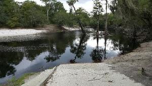
Put In: Fargo Ramp
GPS: 30.68297, -82.56105
Take Out: Roline Launch
Duration: 10 hours
Free: This outing is Free! And we recommend you support the work of WWALS by becoming a WWALS member today!
Continue reading