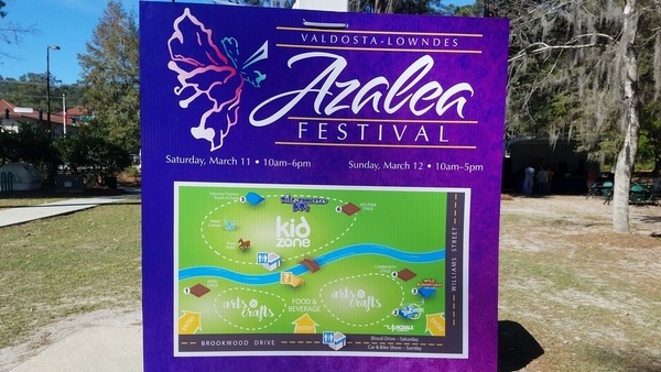
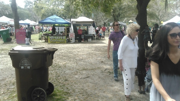
Come help WWALS celebrate spring with 25,000 of our Valdosta-area friends,
at the
Azalea Festival, Saturday and Sunday 11 and 12 March 2017.
When:
10AM-6PM Saturday 12 March 2016
10AM-5PM Sunday 13 March 2016
Volunteer:
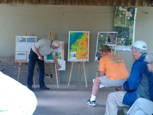
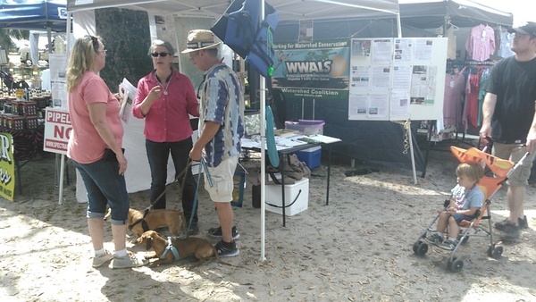
WWALS members can help at the table!
Where:
Drexel Park
30.846771, -83.285066
Patterson Street at W. Brookwood Drive,
Valdosta, GA
(across Patterson from VSU)
Events:
facebook, meetup
What:
The Festival
website says:
The 2017 Azalea Festival will feature arts and crafts vendors from
several different states, a huge food court, six stage areas of
entertainment, a Classic Car and Motorcycle Show, KidZone,
entertainment, Bike Ride and 5K race, and a whole lot more. Free
admission.
 The 16th Annual Azalea Festival (March 14 & 15, 2016) was a huge
success. Thanks to all of our attendees, entertainers, sponsors, and
all of our Board members and volunteers. Saturday, March 12 was a
record setting day with a single day record of over 15,000 patrons
visiting the Festival. Sunday was shortened due to severe
thunderstorms, but the rains didn’t dampen the successes that we had
on Saturday. Average two day attendance for the Festival is
approximately 25,000.
The 16th Annual Azalea Festival (March 14 & 15, 2016) was a huge
success. Thanks to all of our attendees, entertainers, sponsors, and
all of our Board members and volunteers. Saturday, March 12 was a
record setting day with a single day record of over 15,000 patrons
visiting the Festival. Sunday was shortened due to severe
thunderstorms, but the rains didn’t dampen the successes that we had
on Saturday. Average two day attendance for the Festival is
approximately 25,000.
The 2016 Azalea Festival featured a record number of over 170 arts &
crafts vendors from several different states, a huge food court, six
(another record) stage areas of entertainment, a Classic Car &
Motorcycle Show, a newly expanded KidZone, the World Famous
Disc-Connected K9’s Frisbee Show, the Paul Bunyan Lumberjack Show
(sponsored by The Langdale Company), the all-new Falconry
Forever/Birds of Prey Exhibits and Demonstrations, entertainment by
Wild Adventures Theme Park, two great bands (sponsored by Camping
World of Valdosta), the VLPRA Smoothie King Century Bike Ride & 5K
race, and a whole lot more. None of this would have been possible
without our sponsors, volunteers, and the support of our local
community.
What started off as a small, local festival 16 years ago has become
a major regional festival attracting attendees from all over the
Southeastern United States, as well as a major economic booster for
Valdosta and Lowndes County. Our vendors, attendees, and race
participants come from several different states from Florida to
South Dakota.
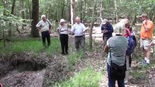
Drexel Park is on One Mile Creek, so we can watch it
for any grease-caused spills,
or fish, for that matter.
Maybe it won’t flood like in the rain last year that closed festival
Sunday afternoon.
-jsq, John S. Quarterman, Suwannee RIVERKEEPER®
You can join this fun and work by becoming a WWALS member today!