In
issuing certificates yesterday,
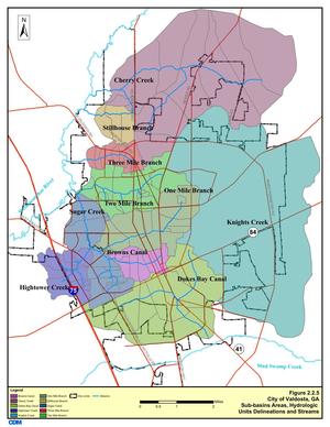
FERC called out the Suwannee River and a nearby (unnamed) spring
 as the one place where drilling by Sabal Trail
would require monitoring during construction.
Why should anybody believe Sabal Trail’s monitoring?
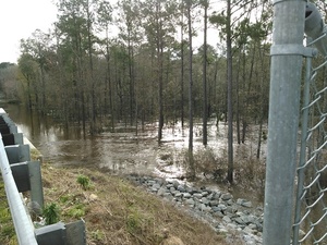
And what about after construction, like that Spectra pipeline that blew up under the Arkansas River last May?
as the one place where drilling by Sabal Trail
would require monitoring during construction.
Why should anybody believe Sabal Trail’s monitoring?
And what about after construction, like that Spectra pipeline that blew up under the Arkansas River last May?
Now it’s even more relevant
for Suwannee County (and Hamilton County) Commissioners to object to Sabal Trail.
Don’t forget to sign the petition to ask members of Congress to object.
243.
The final EIS concludes that impacts on groundwater from overland
construction will be short term and localized, and mitigated by
implementation of the applicants’ construction and restoration plans
and adherence to Commission staff recommendations, now included as
conditions in Appendix B of this order. Moreover, Commission staff
identified only two springs within 0.5 mile of overland pipeline
construction in the karst sensitive areas of Georgia and Florida,
the nearest of which is about 1,000 feet from the
project. Based on these distances and considering that impacts on groundwater resources that could occur in conjunction with overland construction would be temporary, minor, and localized, the final EIS concludes, and we agree, that overland construction would not significantly impact the Floridan Aquifer.
244.
Regarding the impacts of HDD crossings over groundwater, Commission
staff identified five of the 26 HDDs proposed by Sabal Trail as
occurring through karst bedrock within the Floridan Aquifer. Sabal
Trail sited these HDDs installations in karst sensitive areas to
avoid constructing near major springs and public water supply wells.
245.
The final EIS describes the detailed site-specific geotechnical and
geophysical studies conducted by Sabal Trail to characterize the
karst geology at these five HDD
crossings.210 None of the five HDD crossings
will occur in a public wellhead protection area, encounter mapped
cave systems, or occur within 0.5 mile of 1st, 2nd, or 3rd magnitude
springs.211 The HDD crossings will be
located within 0.5 miles of two 4th magnitude springs, one of which
is hydrologically upgradient from the proposed HDD and, therefore,
is unlikely to be affected by HDD activity. The other 4th magnitude
spring is approximately 0.2 mile downgradient from the HDD crossing
of the Suwannee River in Hamilton and Suwannee Counties, Florida,
and will be subject to a site-specific monitoring plan during
construction.
210 Id. [FEIS] at 3-4 to 3-12.
211 Springs are classified according to the volume of flow per unit time. A 1st magnitude spring discharges more than 64.6 million gallons of water per day (mgpd); a 2nd magnitude spring discharges between 6.46 and 64.6 mgpd; a 3rd magnitude spring discharges between 0.646 and 6.46 mgpd; and a 4th magnitude spring discharges between 100 and 448 gallons per minute. See final EIS at 3-30.
-jsq
You can join this fun and work by becoming a WWALS member today!

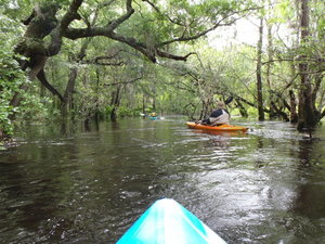 Also one of the least-attended WWALS outings, because we
hadn’t really gotten the hang of
announcing outings yet. But that just made it more intimate for
the three of us who went. I got especially intimate with the river,
choosing to swim twice. I always choose to swim when the water
comes up to meet me…. Eventually I learned not to lean towards
the side you’re tipping towards.
Also one of the least-attended WWALS outings, because we
hadn’t really gotten the hang of
announcing outings yet. But that just made it more intimate for
the three of us who went. I got especially intimate with the river,
choosing to swim twice. I always choose to swim when the water
comes up to meet me…. Eventually I learned not to lean towards
the side you’re tipping towards.