Tag Archives: Alapaha River

WWALS receives Alapaha Water Trail grant from Georgia River Network

FOR IMMEDIATE RELEASE

WWALS receives Alapaha Water Trail grant from Georgia River Network

Adel, GA, July 21st 2014 — The statewide umbrella group Georgia River Network has awarded a grant to WWALS Watershed Coalition to help conserve the mostly-undiscovered recreational and economic gem of the Alapaha River by constructing an Alapaha Water Trail (ART). WWALS invites landowners, local governments, and the public to participate.

Brown’s Guide to Georgia describes the Alapaha as “jungle-like in its remoteness and luxurious with exotic vegetation, the dark reddish-brown waters of the Alapaha wind through a swampy wonderland teeming with wildlife.”

A Water Trail or blueway will help more people see this local gem, raising awareness to conserve it, more than outweighing the minimal disturbance of signs and boats. WWALS will draw on GRN’s extensive experience with Water Trails on other rivers in Georgia.

WWALS will center the initial blueway section Continue reading

Regional Water Council Meeting Wednesday AM in Valdosta

Meeting notice: -jsq

NOTICE:

SUWANNEE-SATILLA
REGIONAL WATER PLANNING COUNCIL MEETING
FOR
REGIONAL ASSESSMENT OF IMPLEMENTATION STATUS

Announcement Date: May 6, 2014

TO ALL INTERESTED PERSONS AND PARTIES:
The Suwannee-Satilla Regional Water Planning Council is holding its next meeting
at the following date, time, and location:
Wednesday, May 21, 2014
Registration: 9:30 A.M. – 10:00 A.M.
Meeting: 10:00 A.M. – 1:00 P.M.


Valdosta City Hall Annex
Multipurpose Room
300 N. Lee Street
Valdosta, GA

For additional information about the Suwannee-Satilla Regional Water Planning
Council please contact:
Cliff Lewis, Assistant Branch Chief – EPD Watershed Protection Branch
229-391-2400 or Cliff.Lewis@dnr.state.ga.us

Moody AFB Installation Complex Encroachment Management Action Plan (ICEMAP)

On 19 February 2014 WWALS Watershed Coalition received the appended letter from the United States Air Force about a study regarding encroachment around Moody Air Force Base, between Valdosta and Lakeland in Lowndes and Lanier Counties, in the watershed of the Alapaha River. Several documents were attached:

From: Mike Lynch <ml@marstel-day.com>
Date: Wed, Feb 19, 2014 at 10:32 AM
Subject: Moody Air Force Base Installation Complex Encroachment Management Action Plan (ICEMAP)
To:
Cc: "NICHOLS, DIONDRA R GS-11 USAF ACC 23 CES/CENPP" <diondra.nichols@us.af.mil>


On behalf of Headquarters Air Force and the 23d Wing, Marstel-Day, LLC is developing an "Installation Complex Encroachment Management Action Plan" (ICEMAP) for Moody Air Force Base (AFB), Georgia and its associated installations and facilities. Attached is a memo Continue reading

How Many Trees Does It Take to Protect a Stream?

Stroud Water Center wrote in their Upstream Newsletter, VOL. 2014, ISSUE 1, February 2014,

Scientists Set Buffer Width Minimum Standard.

A strip of forest along a stream channel, also called a riparian forest buffer, has been proposed and used for decades as a best management practice to protect streams by filtering out contaminants from agriculture and other land uses before they can enter them.Their benefits are many, but one benefit has dominated social and political conversations, and that is their role in preventing contaminants from entering streams.

20140317-140845.jpg
Stroud Center Director Bern Sweeney practicing what he preaches at a tree planting event. Photo: David Arscott

A few years ago, Stroud Water Research Center proposed that riparian forest buffers also play another important role by Continue reading

Georgia Outdoor Map

Interesting interactive map by Georgia Department of Natural Resources, Georgia Outdoor Map. Their PR of 14 March 2014, DNR Launches Interactive Map of Recreational Lands,

The Georgia Department of Natural Resources (DNR) today unveiled an interactive map that identifies DNR-managed lands and outdoor recreation opportunities. The “Georgia Outdoor Map” includes state parks, wildlife management areas, public fishing areas, boat ramps, and historic sites. Users are able to search by category to find locations where they can camp, hunt, hike, fish or explore history.

Continue reading

Draft Agenda for WWALS March 2014 board meeting

Board meetings are open to the public. Board members are listed on the website.

Draft Agenda
WWALS Board of Directors
7:30 PM Wednesday 12 March 2014
IHOP, Adel, GA
  1. Call to Order, Welcome and Introductions
  2. Speaker, 20 minutes: Charles Stines about his experience on our region’s rivers.
  3. Agenda Review: Additions and Changes
  4. Review and Approval of Minutes
    1. 12 February 2014 Board meeting minutes
  5. Past Meetings and Events
    1. Monthly outing February (fourth Saturday): February 22 – location? Cancelled due to all rivers too high.
  6. Future Meetings and Events Continue reading

Draft Agenda for WWALS March 2014 board meeting

Board meetings are open to the public. Board members are listed on the website.

Draft Agenda
WWALS Board of Directors
7:30 PM Thursday 13 March 2014
IHOP, Adel, GA if speaker, else by teleconference
  1. Call to Order, Welcome and Introductions
  2. Speaker, 20 minutes: Charles Stines about his experience on our region’s rivers.
  3. Agenda Review: Continue reading

WWALS January 18-2014 outing review.


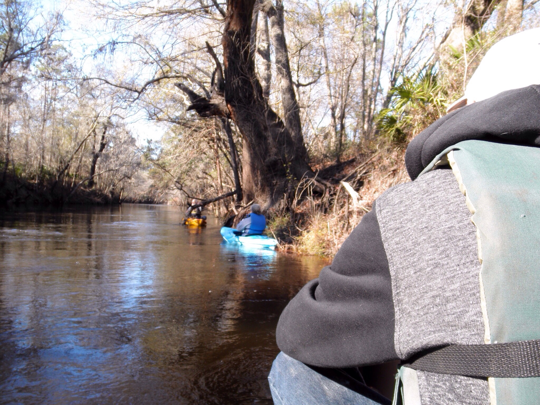
20140226-232013.jpg The WWALS outing was location in Statenville, Georgia DNR boat ramp on the Alapaha river. The water level @ the time of the outing was around 9 ft, but the river was within the backs. But the weather was sunny but cool day with a moderate wind. So the participants for this outing Continue reading

WWALS February outing is cancelled.

20140221-211322.jpg

WWALS February outing scheduled for tomorrow the 22nd has been cancelled. It was planned to be on the Alapaha River. The launching point would have been from the HWY 84 bridge near Naylor to the landing point at Mayday bridge on Howell Rd. near Howell. It is an 11.1 mile section of the Alapaha with rapids and a small waterfall. We hope to enjoy this trip sometime in the future. At this time, the water levels on the Alapaha River are rising. The level at the HWY 84 bridge is currently over 11′ with a fast moving current. Unfortunately, high water and fast currents are not safe for recreational canoeing and kayaking. It would be great to see all WWALS members at our scheduled outing for next month! The Second Annual Big Little River Paddle Event scheduled for March 22nd at 9:30AM. -CLG

Alapahoochee River

Proposed for the WWALS January 2014 outing: the river most people know nothing about, from the convergence of Mud Swamp Creek where Grand Bay Creek forms the border between Lowndes County and Echols County in Georgia east of Valdosta, about 14 miles through Echols County between Lake Park and Statenville, to the Alapaha River in Hamilton County, Florida east of Jennings: the Alapahoochee River.

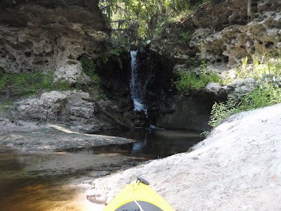
It has a waterfall, limestone caves, and boat ramps, all pictured by South Georgia Kayak Fishing 3 September 2011 in Alapahoochee convergence at Alapaha River – Jennings, FL.

Here’s a brief day paddle description, Florida whitewater, Alapahoochee River Grand Bay Canal), by riverfacts.com:

Echols / Hamilton county, GA SR 135 to FL SR 150 on Alapaha section whitewater kayaking, rafting, and paddling information.

This stretch of Alapahoochee River Grand Bay Canal) in Echols / Hamilton County is 4.5 miles long and is according to American Whitewater a class II section of whitewater.

They include a map.

Continue reading