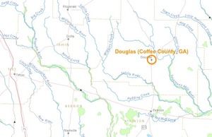
From Leigh Askew Elkins of UGA via GRN, same city as last month, different venue:
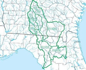
 The Suwannee — Satilla Regional Water Council will convene on
Monday, July 20, 2015 at 10:00am in the meeting room in Aniston’s
Restaurant, 1404 W. Baker Highway, Douglas, GA. Registration will
begin at 9:30am. Among other things, the Council will affirm its
plans for enhancing inter-council planning and for engaging key
implementing actors. The Council will also discuss its
recommendations for plan revisions.
The Suwannee — Satilla Regional Water Council will convene on
Monday, July 20, 2015 at 10:00am in the meeting room in Aniston’s
Restaurant, 1404 W. Baker Highway, Douglas, GA. Registration will
begin at 9:30am. Among other things, the Council will affirm its
plans for enhancing inter-council planning and for engaging key
implementing actors. The Council will also discuss its
recommendations for plan revisions.
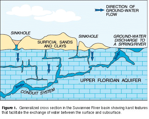
Seems like it’s time for them to say something about the Sabal Trail fracked methane pipeline, and about the shale basin under our Floridan Aquifer.
Maybe WWALS will send something to them about that.
-jsq

The following streamgage will be shut down on July 31, 2015 unless alternative funding can be found: