Update 2023-12-28: Revised version..
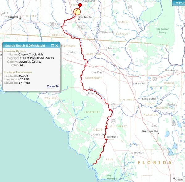
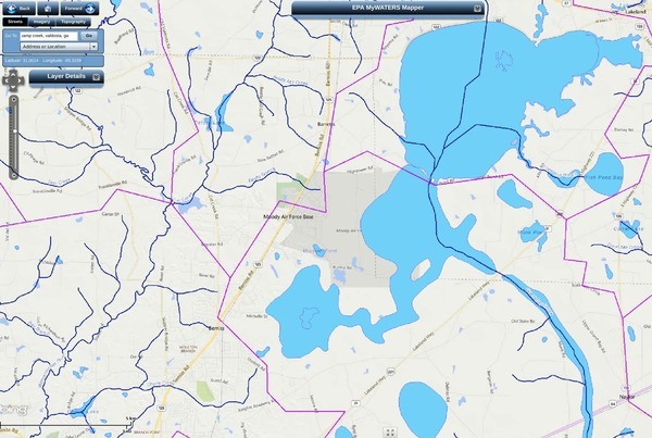
Who knows the Ockolocoochee River? No, not the Ochlockonee River; that’s a bit to the west. You do know the Ockolocoochee River as the Little River, of the Withlacoochee, of the Suwannee. Here is news from 1889 that also includes the boat that didn’t survive from Troupville to Ellaville, which was apparently not a paddlewheel steamer.

Irwin County, 1885a, GeorgiaInfo, Rand McNally Map of Georgia, 1885
Atlanta Constitution, January 29, 1889, Pg 12., quoted in Ray City History Blog, 18 October 2010, More About Troupville, GA and the Withlacoochee River,
THE WITHLACOOCHEE RIVER.
VALDOSTA, Ga., January 19. -[Special.]- Away up near the northern limit of the great wiregrass section there is a big cypress swamp. They call them bays there. From this bay emerges Continue reading