Got some deadfalls in the Withlacoochee River at Troupville, Valdosta, Lowndes County, Georgia, on the Withlacoochee and Little River Water Trail (WLRWT), found once again by intrepid WWALS explorer Aaron Sirmons. Here are some pictures and a Google map.
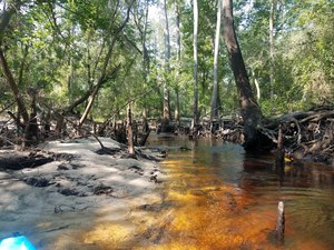
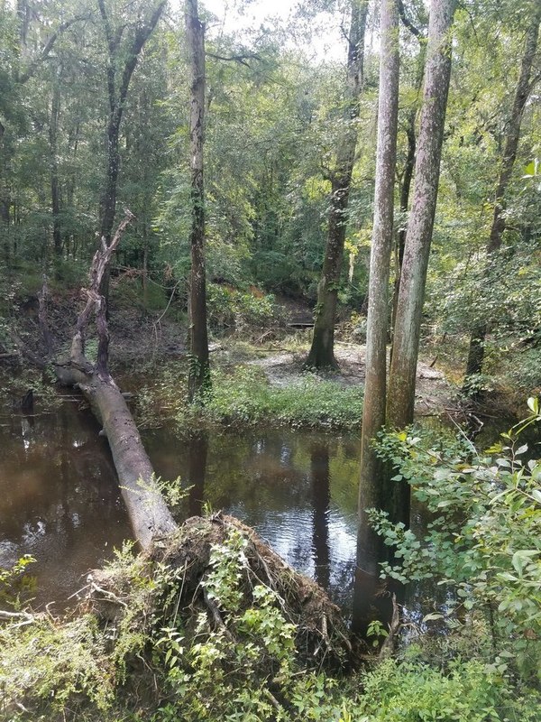
![[Log in tree, 2018:07:14 10:02:25, 30.8495694, -83.3402911]](https://www.wwals.net/pictures/2018-07-21--withlacoochee-troupville/20180714_100225.jpg)
Log in tree, 2018:07:14 10:02:25, 30.8495694, -83.3402911
Troupville, the old county seat of Lowndes County, Georgia, was mostly west of the Withlacoochee River over to the Little River and down to its confluence, although as you can see in this map Troupville Cemetery was to the east of the Withlacoochee River.
![[Withlacoochee River at GA 133 in the WWALS map of the Withlacoochee and Little River Water Trail (WLRWT)]](https://www.wwals.net/pictures/2018-07-21--withlacoochee-troupville/google-map.jpg)
Withlacoochee River at GA 133 in the WWALS map of the Withlacoochee and Little River Water Trail (WLRWT)
This is a still image from the
interactive Google map.
WWALS did a cleanup recently down to the Confluence, by permissionon private land that is for sale. All about the history of Troupville. You could start at Troupville Boat Ramp and paddle a week downstream on the Withlacoochee and Suwannee Rivers, even in June.
![[Beavers?, 2018:07:14 10:02:45, 30.8491566, -83.3404211]](https://www.wwals.net/pictures/2018-07-21--withlacoochee-troupville/20180714_100245.jpg)
Beavers?, 2018:07:14 10:02:45, 30.8491566, -83.3404211

Trash, River
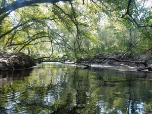
Start of cutoff, Oxbow cutoff

Narrow, Oxbow cutoff
Deer stand, Oxbow cutoff
![[Deer stand, 2018:07:14 10:11:39, 30.8472271, -83.3428214]](https://www.wwals.net/pictures/2018-07-21--withlacoochee-troupville/20180714_101139.jpg)
Deer stand, 2018:07:14 10:11:39, 30.8472271, -83.3428214
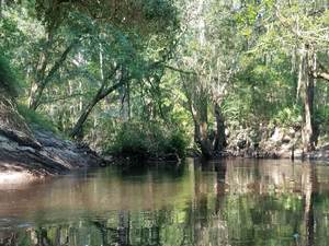
Reflections, Oxbow cutoff
Wider, Oxbow cutoff
Deadfall ready to block entire river, Oxbow cutoff
![[Side deadfall, 2018:07:14 10:17:13, 30.8461670, -83.3430003]](https://www.wwals.net/pictures/2018-07-21--withlacoochee-troupville/20180714_101713.jpg)
Side deadfall, 2018:07:14 10:17:13, 30.8461670, -83.3430003
![[End of cutoff, 2018:07:14 10:18:11, 30.8467601, -83.3425382]](https://www.wwals.net/pictures/2018-07-21--withlacoochee-troupville/20180714_101811.jpg)
End of cutoff, 2018:07:14 10:18:11, 30.8467601, -83.3425382
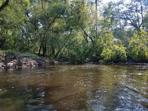
Trees, Downstream
![[Trees, 2018:07:14 10:41:51, 30.8479584, -83.3408428]](https://www.wwals.net/pictures/2018-07-21--withlacoochee-troupville/20180714_104151-0.jpg)
Trees, 2018:07:14 10:41:51, 30.8479584, -83.3408428
![[Power line, 2018:07:14 10:52:08, 30.8499246, -83.3400640]](https://www.wwals.net/pictures/2018-07-21--withlacoochee-troupville/20180714_105208.jpg)
Power line, 2018:07:14 10:52:08, 30.8499246, -83.3400640
![[Submerged deadfall, 2018:07:14 11:14:34, 30.8519610, -83.3391584]](https://www.wwals.net/pictures/2018-07-21--withlacoochee-troupville/20180714_111435.jpg)
Submerged deadfall, 2018:07:14 11:14:34, 30.8519610, -83.3391584
-jsq, John S. Quarterman, Suwannee RIVERKEEPER®
You can join this fun and work by becoming a WWALS member today!
Google Map
Follow this link for the interactive google map, or it’s also embedded below. This map also includes the deadfall upstream from I-75 of Aaron’s other report.

![[Finish]](https://www.wwals.net/pictures/2018-04-28--blrpr-hubbard/4063062-28Apr18.jpg)
![[Dennis Price explains, 13:50:12, 30.57871, -83.05231]](https://www.wwals.net/pictures/2018-01-27--hike-dead-river-sink/20180127_135013.jpg)