FOR IMMEDIATE RELEASE
EPA
stepped back, while opposition ramps up against Sabal Trail fracked
methane pipeline
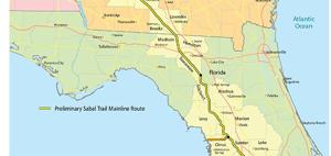
Hahira and Albany, Georgia, December 18, 2015—
(PDF)
Mysteriously contradicting a substantive October letter from U.S.
Environmental Protection Agency (EPA) Region 4 in Atlanta, a
different EPA branch last Friday sent a brief and sketchy letter to
the U.S. Army Corps of Engineers uncritically accepting what Sabal
Trail’s attorney’s told it, even as multiple environmental and
landowner organizations filed objections with the Corps and multiple
state agencies against that invading natural gas pipeline.
 “I smell a skunk,” said Frank Jackalone, senior
organizing manager, Sierra Club of Florida.
“I smell a skunk,” said Frank Jackalone, senior
organizing manager, Sierra Club of Florida.
Tim Carroll, Valdosta City Council member, said,
“I
don’t understand how EPA and FERC can say there will not be a
negative impact on our environment, aquifer, streams and rivers. A
number of experts testified and spoke up saying the likelihood is
very high that there could be damage to the aquifer and the
environment. Why would we want to allow this to happen, to run the
risk of seriously degrading one of the best water resources in the
world.,” Valdosta,
Moultrie, and Albany, the three biggest cities along the pipeline
path in Georgia, all passed resolutions against Sabal Trail, as did
the counties of Terrell, Dougherty, Colquitt, Brooks, and Lowndes, in
Georgia, and Hamilton and Suwannee Counties in Florida.
“The
one government agency actually defending our drinking in the Floridan
Aquifer and the many rivers in Georgia and Florida just stifled
itself,” Continue reading →

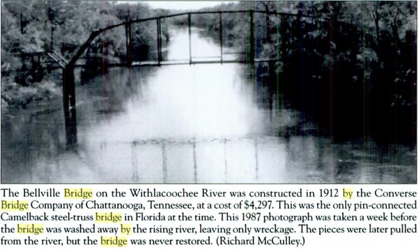
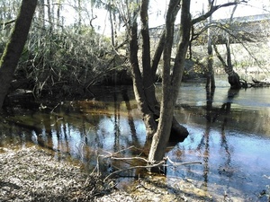 you can get to the Withlacoochee River at the new(-ish)
Staten Road Bridge,
30.9324760, -83.2883453.
This is at Mile 73.3 on the
Withlacoochee River Water Trail.
you can get to the Withlacoochee River at the new(-ish)
Staten Road Bridge,
30.9324760, -83.2883453.
This is at Mile 73.3 on the
Withlacoochee River Water Trail.