Category Archives: Transportation

Aerials: I-75 to Withlacoochee (south) River 2017-02-07

Update again 2017-03-13:

Sabal Trail north from I-75 to the Withlacoochee (south) River.

Tommys Tire Shop, 418 FL-44, Wildwood, FL 34785,
Photo: Mark Skogman for WWALS on Southwings flight 2017-02-07

The Villages is about six miles northeast of where Sabal Trail crosses I-75 just north of FL-44.

Closeup, Withlacoochee (South) River crossing,
Photo: Jim Tatum for WWALS on Southwings flight 2017-02-07

Many more pictures below, and a Google Map showing the locations.

 -jsq, John S. Quarterman, Suwannee RIVERKEEPER®

You can join this fun and work by becoming a WWALS member today!

Pictures

Continue reading

WWALS Outings, Rivers, and Pipeline on Chris Beckham drive-time radio WVGA 105.9 FM 8:00 7:30 AM 2016-09-02

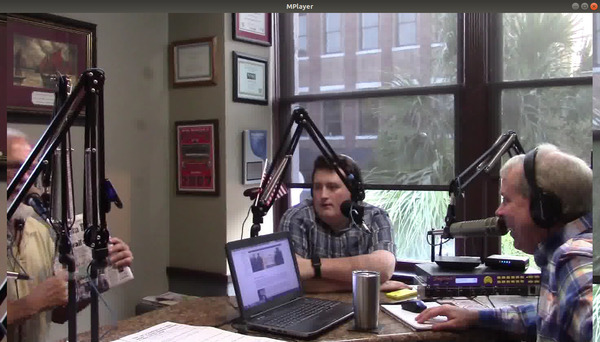
8AM Friday morning WWALS will be on Chris Beckham’s drive-time radio show. WWALS president John S. Quarterman will be talking about Saturday morning’s Suwannee River paddle outing and other outings upcoming on the Alapaha and Withlacoochee Rivers, along with other developments on the Alapaha River Water Trail and the Withlacoochee and Little River Water Trail, along with many other things WWALS does. Plus what you can do about the FERC rubberstamp of the Sabal Trail fracked methane pipeline drilling under the Withlacoochee and Suwannee Rivers.

When: 8:00 7:30AM Friday September 2nd 2016

Where: Continue reading

Road Closures in 2009 Flood, Lowndes County, GA

Back in 2009, Lowndes County spent hundreds of times more in infrastructure repairs than the $40,000 that Valdosta is asking as a match to build an online flood warning map, beyond just fixing sewer system spills to dealing with the rest of the flooding problem. Map of roads closed At recent meetings, some County Commissioners seemed reluctant to authorize the request because the proposed map mostly covers subdivisions in Valdosta. But the entire county was affected by road closures in 2009, so maybe Commissioners could ask to expand the map to cover the whole county, which could also help find sources of the flooding problem. Sources and effects extend all the way to the edges of the county, as you can see in this a google map I built back then:

Roads closed in Lowndes County, Georgia, as of 9:38 a.m April 6th, according to the Valdosta Daily Times. This map shows locations and terrain. It’s a Google map, so it’s interactive: you can zoom and pan and change to satellite view, street map, street view, etc. Some of the locations are guesstimates from the cryptic descriptions in the VDT article. The one green blob is the one reopening mentioned in the article: “North Valdosta Road Withlacoochee River Bridge opened at 10 p.m. Sunday.”

That VDT article no longer seems to be online, but this one is. Jason Schaefer, VDT, 27 April 2013, What natural events cost Lowndes taxpayers, Continue reading

Videos: Suwannee BOCC backs down against Sabal Trail 2015-12-10

They did fix the two typos, but they didn’t approve or send the letter, as you can see in their own video. Here’s more discussion of why they should send such a letter, and pass another resolution.

For more details, see previous blog post and Carl McKinney, Suwannee Democrat, 10 Dec 2015, County not sending pipeline opposition letter.

Regarding Commissioner Gamble Wainwright’s comment that “my business depends increasingly on energy” OK, but “energy is going to cost more and more money”, sorry, not so. See Continue reading

Widening US 84 from Homerville to Waycross

300x232 Figure 4.1: State and Federal Waters Map, in US 84 four-laning from Homerville to Waycross, by John S. Quarterman, for WWALS.net, 28 April 2015 GDOT and the Army Corps want to widen U.S. 84 from Homerville to Waycross. Since it appears that US 84 is already four lane from Thomasville through Quitman and Valdosta to Homerville, and from Waycross onwards northeast, this would be the remaining gap. The public notice says little or nothing about why this road work might be needed.

U.S. Army Corps of Engineers, Public Notice, 28 April 2015, SAS-2014-00862 (SP-WMR), Widening and Reconstruction of U.S. Highway 84, with PDF. Since that notice says it expires in a month, there’s also a copy of the PDF on the WWALS website, including this location information: Continue reading